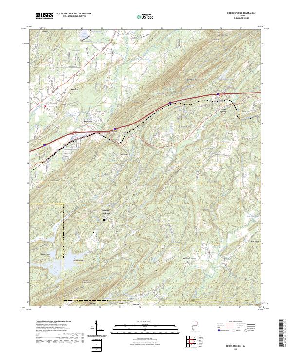
2024 Map of Cooks Springs
USGS Topo · Published 2024About this map
Moody and the surrounding ridgelines of Taylors Mountain and Double Oak Mountain define the topography of this contemporary 2024 landscape. The terrain is marked by prominent gaps and hollows, such as Karr Gap and Hale Hollow, which have historically influenced transportation routes through the valleys. Local history is anchored by several small settlements and community hubs, including Cooks Springs and Brompton, alongside rural intersections like Stewarts Crossroads.
Find a feature on this map
158 named features on this map. Tap any name to fly to it.
Don’t see what you’re looking for? This feature index may not catch every label — zoom into the map to look around manually.
Map Details
Editions of this 2024 Cooks Springs Map
This is the sole edition of this map. No revisions or reprints were ever made.
Other maps of this area

1889 · Springville
USGS Topo · 1:125,000

1889 · Birmingham
USGS Topo · 1:125,000

1890 · Bessemer
USGS Topo · 1:125,000

1890 · Talladega
USGS Topo · 1:125,000

1892 · Birmingham
USGS Topo · 1:125,000

1892 · Springville
USGS Topo · 1:125,000

1892 · Talladega
USGS Topo · 1:125,000

1892 · Bessemer
USGS Topo · 1:125,000

1895 · Birmingham
USGS Topo · 1:125,000

1905 · Leeds
USGS Topo · 1:62,500