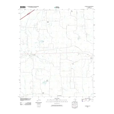
2010 Map of Cookville
USGS Topo · Published 2010About this map
Cookville and Omaha anchor the landscape of this 2010 topographic record, showing the rural communities of Morris and Titus Counties during the early 21st century. The map reveals a sophisticated hydrological network of small ponds and reservoirs, including S E Lee Lake and Kenneth Travis Lake, which punctuate the drainage basins of Boggy Creek and Horse Creek. These water features, often created by earthen dams like the S E Lee Dam, illustrate the agricultural and recreational importance of water management in Northeast Texas.
Find a feature on this map
47 named features on this map. Tap any name to fly to it.
Don’t see what you’re looking for? This feature index may not catch every label — zoom into the map to look around manually.
Map Details
Editions of this 2010 Cookville Map
This is the sole edition of this map. No revisions or reprints were ever made.
Other maps of this area

1914 · Daingerfield
USGS Topo · 1:62,500

1930 · Bassett
USGS Topo · 1:62,500

1953 · Texarkana
USGS Topo · 1:250,000

1956 · Texarkana
USGS Topo · 1:250,000

1964 · Harvard
USGS Topo · 1:24,000

1964 · Wilkinson
USGS Topo · 1:24,000

1964 · Daingerfield
USGS Topo · 1:24,000

1964 · Cason
USGS Topo · 1:24,000

1965 · Dalby Springs
USGS Topo · 1:24,000

1965 · Mount Pleasant
USGS Topo · 1:24,000