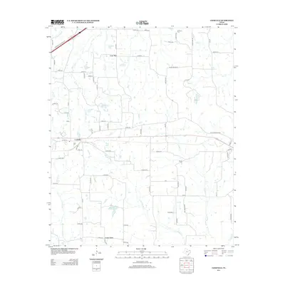
2013 Map of Cookville
USGS Topo · Published 2013About this map
Cookville serves as a central hub in this East Texas landscape, where the local road network radiates from the settlement toward surrounding communities like Lone Star and Center Grove. The terrain is defined by a dense web of watercourses, including the branches of Horse Cr and the winding path of Swauano Cr. These streams and their associated basins, such as Little Boggy Cr, have long influenced the placement of homesteads and cemeteries throughout the region. Family and community heritage is evident in the preservation of sites like Keith Cem and Mt Moriah Cem, which sit alongside established rural routes. To the south, Kenneth Travis Lake and S E Lee Lake indicate a landscape shaped by both natural drainage and local water management. The mapping of numerous county roads, from Rogers Rd to Lone Star Rd, provides a clear view of the rural infrastructure connecting these small Texas settlements.
Find a feature on this map
80 named features on this map. Tap any name to fly to it.
Don’t see what you’re looking for? This feature index may not catch every label — zoom into the map to look around manually.
Map Details
Editions of this 2013 Cookville Map
This is the sole edition of this map. No revisions or reprints were ever made.
Other maps of this area

1914 · Daingerfield
USGS Topo · 1:62,500

1930 · Bassett
USGS Topo · 1:62,500

1953 · Texarkana
USGS Topo · 1:250,000

1956 · Texarkana
USGS Topo · 1:250,000

1964 · Harvard
USGS Topo · 1:24,000

1964 · Wilkinson
USGS Topo · 1:24,000

1964 · Daingerfield
USGS Topo · 1:24,000

1964 · Cason
USGS Topo · 1:24,000

1965 · Dalby Springs
USGS Topo · 1:24,000

1965 · Mount Pleasant
USGS Topo · 1:24,000