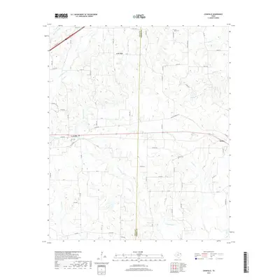
2019 Map of Cookville
USGS Topo · Published 2019About this map
The Titus Co and Morris Co line bisects this landscape, running through a region defined by several creek systems and small settlements in Northeast Texas. Cookville sits at a crossroads in the west, while the town of Omaha occupies the eastern edge of the survey. The terrain is notably dissected by watercourses like Horse Cr and Buck Cr, with the prominent S E Lee Lake situated north of the central transit corridor.
Find a feature on this map
64 named features on this map. Tap any name to fly to it.
Don’t see what you’re looking for? This feature index may not catch every label — zoom into the map to look around manually.
Map Details
Editions of this 2019 Cookville Map
This is the sole edition of this map. No revisions or reprints were ever made.
Other maps of this area

1914 · Daingerfield
USGS Topo · 1:62,500

1930 · Bassett
USGS Topo · 1:62,500

1953 · Texarkana
USGS Topo · 1:250,000

1956 · Texarkana
USGS Topo · 1:250,000

1964 · Harvard
USGS Topo · 1:24,000

1964 · Wilkinson
USGS Topo · 1:24,000

1964 · Daingerfield
USGS Topo · 1:24,000

1964 · Cason
USGS Topo · 1:24,000

1965 · Dalby Springs
USGS Topo · 1:24,000

1965 · Mount Pleasant
USGS Topo · 1:24,000