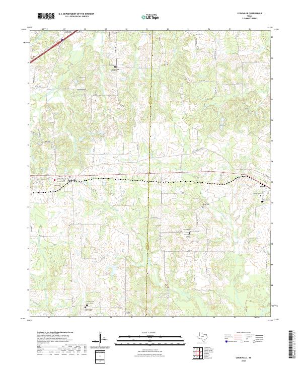
2022 Map of Cookville
USGS Topo · Published 2022About this map
Cookville and Omaha anchor the central corridor of this northeast Texas landscape, where the boundary between Titus Co and Morris Co bisects a network of rural roads and family-named cemeteries. The region is defined by a dense system of seasonal watercourses like Little Boggy Cr and W Fork Horse Cr that drain the undulating terrain. Small, dispersed settlements like Lone Star are accompanied by numerous burial grounds, including the Phillips - Taylor Cem and Barrier Cem, reflecting generations of family history and land ownership.
Find a feature on this map
87 named features on this map. Tap any name to fly to it.
Don’t see what you’re looking for? This feature index may not catch every label — zoom into the map to look around manually.
Map Details
Editions of this 2022 Cookville Map
This is the sole edition of this map. No revisions or reprints were ever made.
Other maps of this area

1914 · Daingerfield
USGS Topo · 1:62,500

1930 · Bassett
USGS Topo · 1:62,500

1953 · Texarkana
USGS Topo · 1:250,000

1956 · Texarkana
USGS Topo · 1:250,000

1964 · Harvard
USGS Topo · 1:24,000

1964 · Wilkinson
USGS Topo · 1:24,000

1964 · Daingerfield
USGS Topo · 1:24,000

1964 · Cason
USGS Topo · 1:24,000

1965 · Dalby Springs
USGS Topo · 1:24,000

1965 · Mount Pleasant
USGS Topo · 1:24,000