2024 Map of Coolidge
USGS Topo · Published 2024About this map
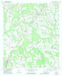
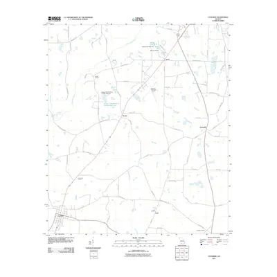
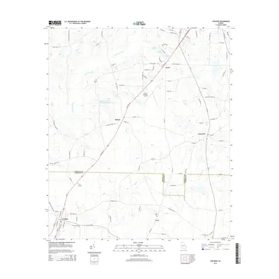
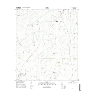
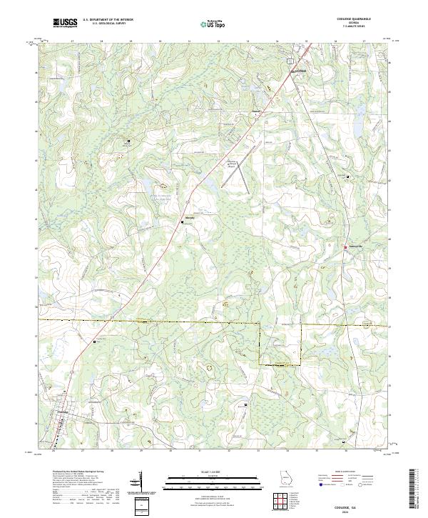
The boundary line between Colquitt Co and Thomas Co divides this South Georgia landscape, where the agricultural flats meet the headwaters of the Ochlockonee River. The settlement of Coolidge anchors the southwest corner, while the southern outskirts of Moultrie and the community of Sunset extend into the northern reaches. For genealogists, the map is remarkably dense with family-named burial sites, including the Murphy Family Cem, Murphy Cem, and Enon Cem, suggesting long-standing family landholdings in the region. Transportation and infrastructure are characterized by the Moultrie Municipal Airport and a network of rural roads such as Shade Murphy Rd and Greenfield Church Rd, which weave around water features like Big Creek and Hog Creek. Large tracts are designated as Farm Service Agency Interest of Georgia, reflecting the area's deep ties to organized agricultural administration.
Find a feature on this map
91 named features on this map. Tap any name to fly to it.
Don’t see what you’re looking for? This feature index may not catch every label — zoom into the map to look around manually.
Map Details
Editions of this 2024 Coolidge Map
This is the sole edition of this map. No revisions or reprints were ever made.
Historical Maps of Moultrie Through Time
6 maps found