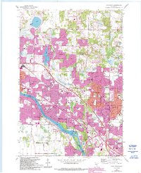
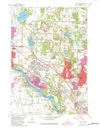
1967 Map of Coon Rapids
USGS Topo · Published 1993About this map
The Mississippi River defines the southwestern corridor of this suburban landscape, bordering the growing communities of Coon Rapids, Champlin, and Brooklyn Park. In the late 1960s, this area transitioned rapidly from rural parcels to residential developments like Thompson Riverview Terrace and Northdale. The infrastructure of the period is prominent, including the Burlington Northern railroad line and local communication landmarks such as the Radio Tower (WCCO).
Find a feature on this map
64 named features on this map. Tap any name to fly to it.
Don’t see what you’re looking for? This feature index may not catch every label — zoom into the map to look around manually.
Map Details
Editions of this 1967 Coon Rapids Map
5 editions found
Other maps of this area

1902 · White Bear
USGS Topo · 1:62,500

1902 · Anoka
USGS Topo · 1:62,500

1916 · St. Francis
USGS Topo · 1:62,500

1919 · St. Francis
USGS Topo · 1:62,500

1952 · Minneapolis North
USGS Topo · 1:24,000

1952 · New Brighton
USGS Topo · 1:24,000

1953 · Stillwater
USGS Topo · 1:250,000

1955 · Osseo
USGS Topo · 1:24,000

1955 · Circle Pines
USGS Topo · 1:24,000

1955 · Anoka
USGS Topo · 1:24,000