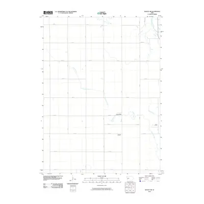
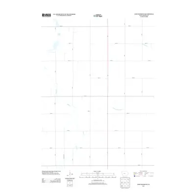
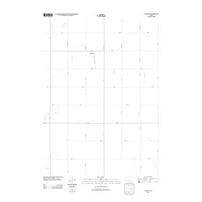
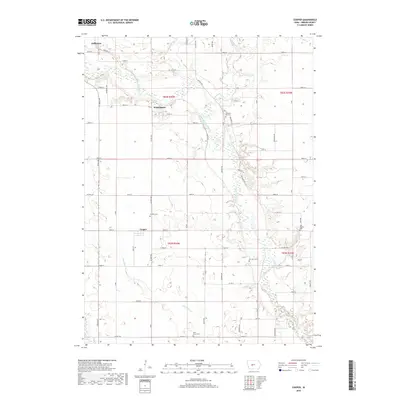
2022 Map of Coon Rapids NE
USGS Topo · Published 2022About this map
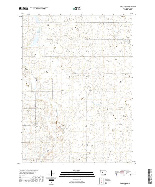
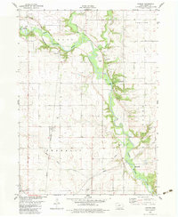
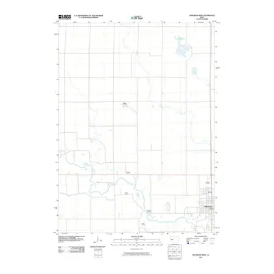
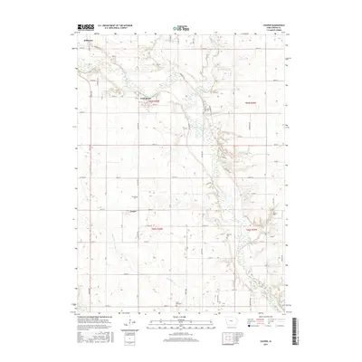
Dunbar Slough dominates the northwestern corner of this agricultural landscape in Greene County, reflecting the complex water management history of the Iowa prairie. The terrain is defined by a grid of rural roads such as 260th St and 300th St, which trace the section lines established by the Public Land Survey System. Intersecting this rigid human geometry are the meandering courses of Willow Cr and Greenbrier Cr. The engineering of the land for cultivation is most evident in features like Drainage Ditch Number 117, a critical component for draining the fertile lowlands. Spanning four townships, including t83n r32w and t82n r31w, the area remains a quintessential example of the modern Midwestern grain belt, where natural wetlands and technological water control exist side-by-side.
Find a feature on this map
19 named features on this map. Tap any name to fly to it.
Don’t see what you’re looking for? This feature index may not catch every label — zoom into the map to look around manually.
Map Details
Editions of this 2022 Coon Rapids NE Map
This is the sole edition of this map. No revisions or reprints were ever made.
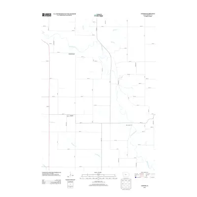
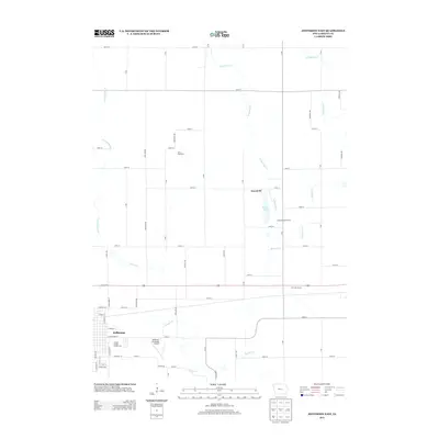
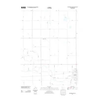
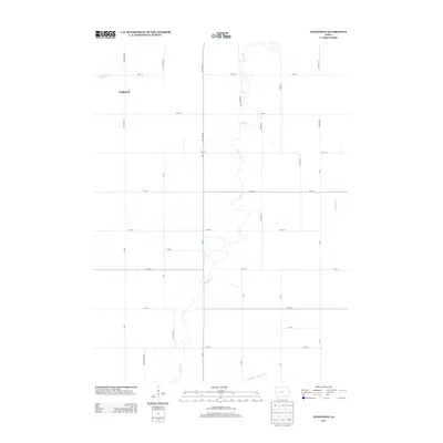
Historical Maps of Jackson Township Through Time
42 maps found
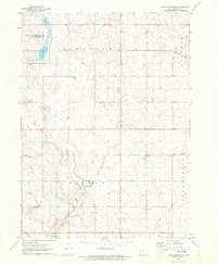
1971 Coon Rapids NE
Greene County, IA
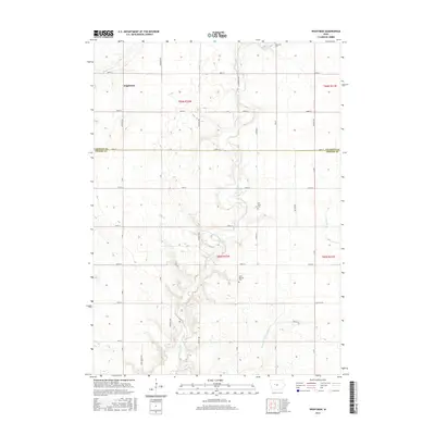
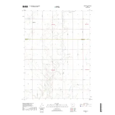
1980 Wightman
Greene County, IA
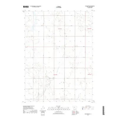
1982 Bagley NW
Greene County, IA
1982 Cooper
Greene County, IA
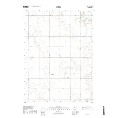
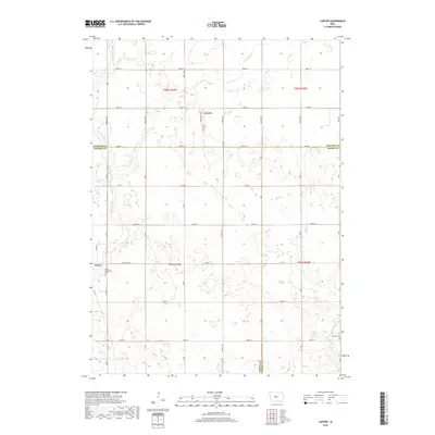
1982 Lanyon
Greene County, IA
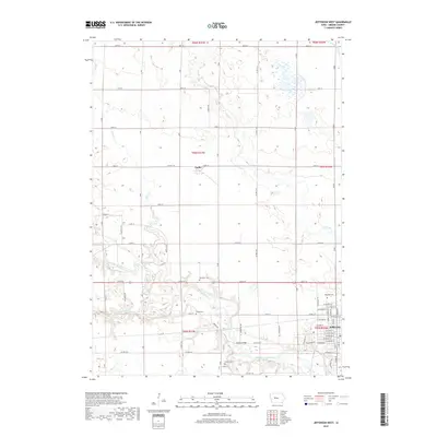
1986 Jefferson East
Greene County, IA
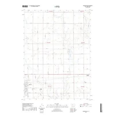
1986 Jefferson West
Greene County, IA
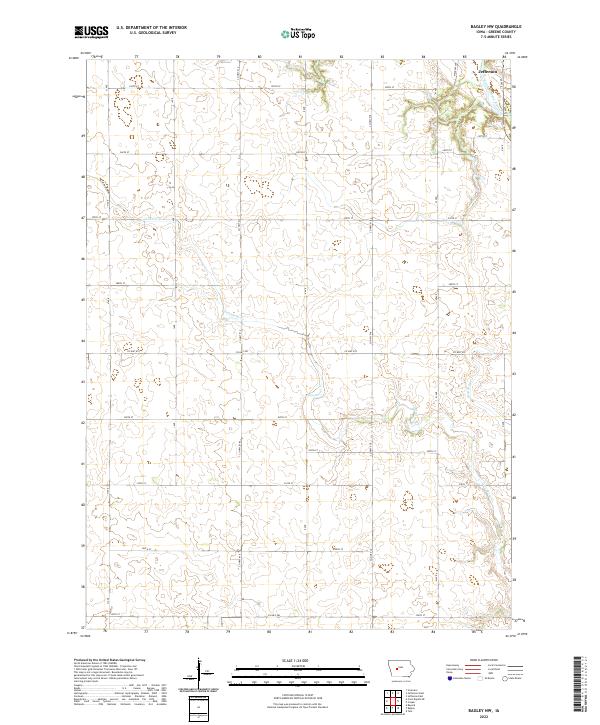
2010 Bagley NW
Greene County, IA
2010 Coon Rapids NE
Greene County, IA
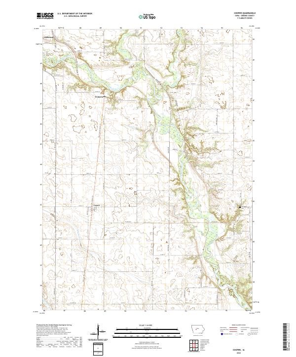
2010 Cooper
Greene County, IA
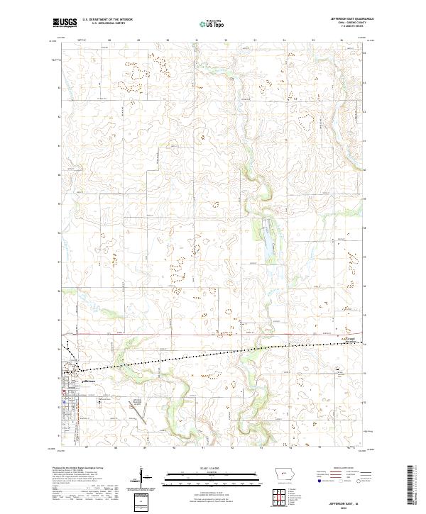
2010 Jefferson East
Greene County, IA
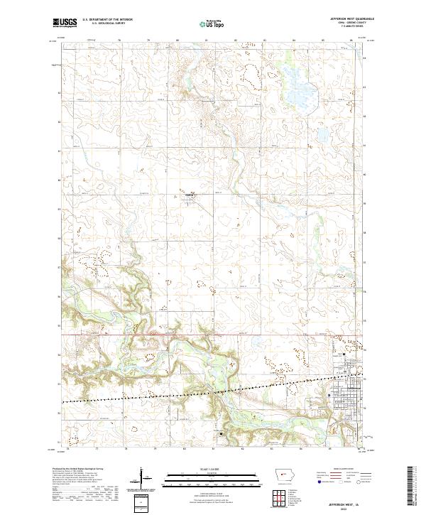
2010 Jefferson West
Greene County, IA
2010 Lanyon
Greene County, IA
2010 Wightman
Greene County, IA
2013 Bagley NW
Greene County, IA
2013 Coon Rapids NE
Greene County, IA
2013 Cooper
Greene County, IA
2013 Jefferson East
Greene County, IA
2013 Jefferson West
Greene County, IA
2013 Lanyon
Greene County, IA
2013 Wightman
Greene County, IA
2015 Bagley NW
Greene County, IA
2015 Coon Rapids NE
Greene County, IA
2015 Cooper
Greene County, IA
2015 Jefferson East
Greene County, IA
2015 Jefferson West
Greene County, IA
2015 Lanyon
Greene County, IA
2015 Wightman
Greene County, IA
2018 Bagley NW
Greene County, IA
2018 Coon Rapids NE
Greene County, IA
2018 Cooper
Greene County, IA
2018 Jefferson East
Greene County, IA
2018 Jefferson West
Greene County, IA
2018 Lanyon
Greene County, IA
2018 Wightman
Greene County, IA
2022 Bagley NW
Greene County, IA
2022 Coon Rapids NE
Greene County, IA
2022 Cooper
Greene County, IA
2022 Jefferson East
Greene County, IA
2022 Jefferson West
Greene County, IA
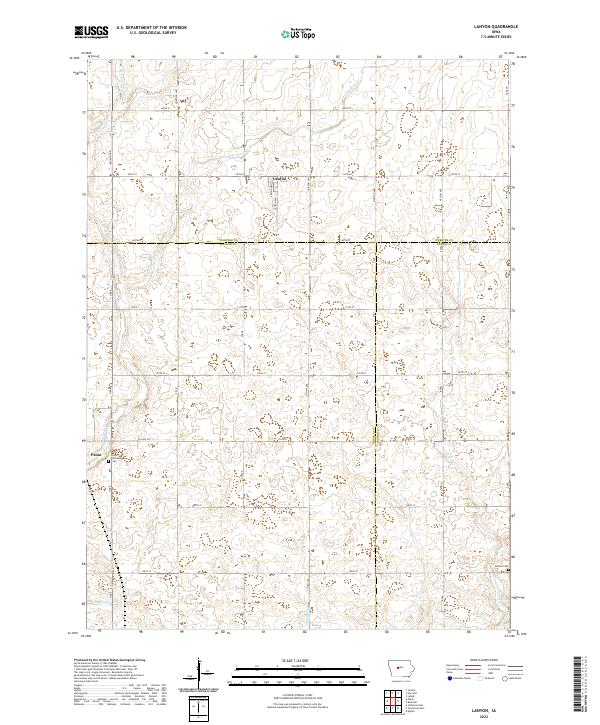
2022 Lanyon
Greene County, IA
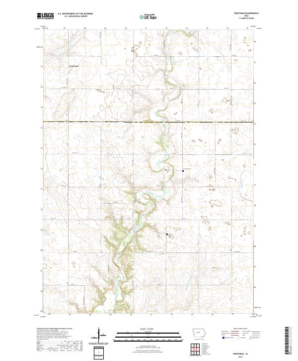
2022 Wightman
Greene County, IA
Featured Locations
- Greene County, IA
- Greenbrier Township, IA
- Jackson Township, IA
- Scranton Township, IA
- Willow Township, IA