Loading...
Loading map...2024 Map of Cooper City
USGS Topo · Published 2024About this map
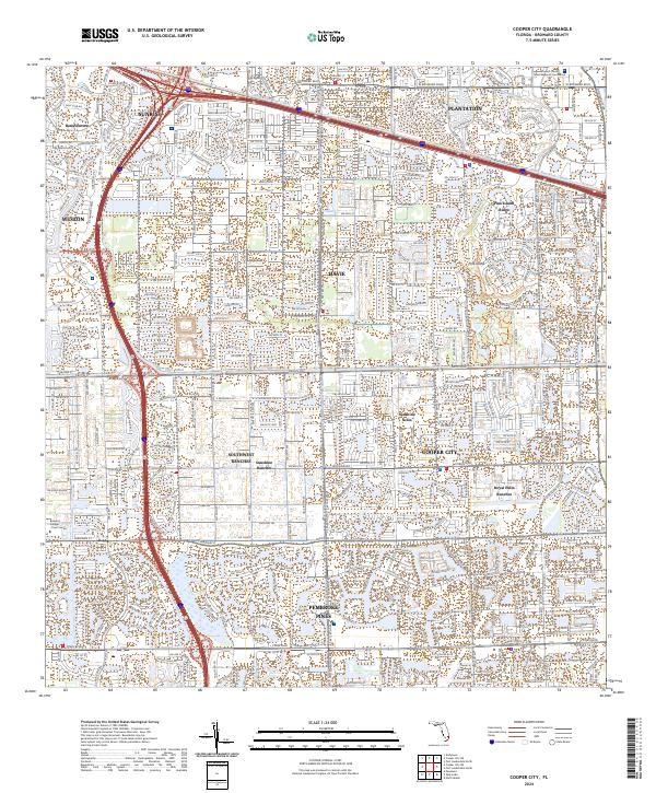
Cooper City and its surrounding communities are defined by a dense residential grid integrated with a legacy water management network. The landscape is structured by the North New River Canal and the South New River Canal, which flank the central developed corridor. Established residential enclaves such as Sunshine Ranches and Royal Palm Ranches stand out for their distinct layouts compared to the more conventional suburban patterns of Davie and Pembroke Pines.
Find a feature on this map
34 named features on this map. Tap any name to fly to it.
Don’t see what you’re looking for? This feature index may not catch every label — zoom into the map to look around manually.
Map Details
Date Portrayed2024
Date Published2024
PublisherU.S. Geological Survey
Map TypeTopographic
Scale1:24000
Physical Dimensions24 x 29 inches
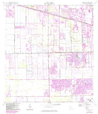
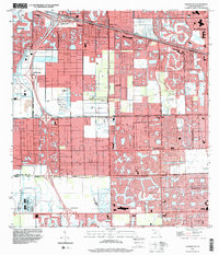
Editions of this 2024 Cooper City Map
This is the sole edition of this map. No revisions or reprints were ever made.
Historical Maps of Melaleuca Isles Through Time
3 maps found
Featured Locations
- Cooper City, FL
- Melaleuca Isles, FL
- Southwest Ranches, FL
- Pembroke Pines, FL
- Sunshine Ranches, Southwest Ranches
Source Details
SourceU.S. Geological Survey
CopyrightPublic Domain