
2012 Map of Cooper City NE
USGS Topo · Published 2012About this map
Plantation Acres and the western edge of the Florida Everglades meet along a highly engineered landscape of canals and levees in this 2012 survey. The transition from suburban development to water management is sharp, defined by Levee Number 35A and the massive Sawgrass Expy. These barriers separate the dense residential street grids of Tamarac and Sunrise from the open wetlands and recreational spaces of the interior. Large-scale retail and community hubs like the Shops of Tamarac and Markham Co Park anchor the suburban corridors, while the historic North New River Canal remains a vital component of the region's drainage infrastructure. The map meticulously records the fine-grain detail of the contemporary South Florida streetscape, from the curving drives near Lakeview Dr to the arterial Southgate Blvd.
Find a feature on this map
194 named features on this map. Tap any name to fly to it.
Don’t see what you’re looking for? This feature index may not catch every label — zoom into the map to look around manually.
Map Details
Editions of this 2012 Cooper City NE Map
This is the sole edition of this map. No revisions or reprints were ever made.
Other maps of this area

1945 · Fort Lauderdale North
USGS Topo · 1:24,000

1946 · West Dixie Bend
USGS Topo · 1:24,000

1949 · Fort Lauderdale North
USGS Topo · 1:24,000

1949 · West Dixie Bend
USGS Topo · 1:24,000

1949 · Fort Lauderdale South
USGS Topo · 1:24,000

1956 · West Palm Beach
USGS Topo · 1:250,000

1957 · West Palm Beach
USGS Topo · 1:250,000

1958 · West Palm Beach
USGS Topo · 1:250,000
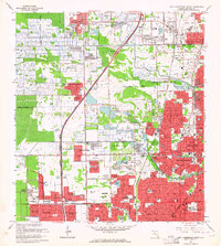
1962 · Fort Lauderdale North
USGS Topo · 1:24,000
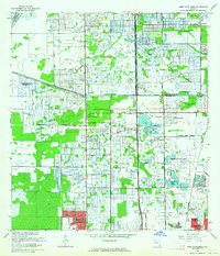
1962 · West Dixie Bend
USGS Topo · 1:24,000