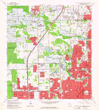
1962 Map of Fort Lauderdale North
USGS Topo · Published 1964About this map
The Sunshine State Parkway cuts through a rapidly developing Broward County landscape in the early 1960s, reflecting the post-war suburban transformation of South Florida. This survey captures a dense network of residential subdivisions like Sabal Palms Estates and Margate Estates expanding westward from the coastal centers. Industrial and municipal growth is evident in the presence of extensive Sand and Gravel Pits and the sprawling Fort Lauderdale Executive Airport.
Find a feature on this map
87 named features on this map. Tap any name to fly to it.
Don’t see what you’re looking for? This feature index may not catch every label — zoom into the map to look around manually.
Map Details
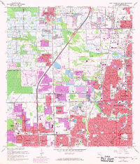
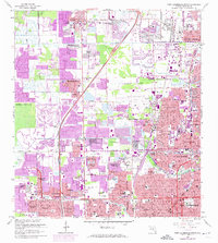
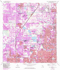
Editions of this 1962 Fort Lauderdale North Map
4 editions found
Other maps of this area

1945 · Fort Lauderdale North
USGS Topo · 1:24,000

1946 · West Dixie Bend
USGS Topo · 1:24,000

1946 · Boca Raton
USGS Topo · 1:24,000

1949 · Fort Lauderdale North
USGS Topo · 1:24,000

1949 · West Dixie Bend
USGS Topo · 1:24,000

1949 · Port Everglades
USGS Topo · 1:24,000

1949 · Fort Lauderdale South
USGS Topo · 1:24,000

1949 · Pompano Beach
USGS Topo · 1:24,000

1950 · Boca Raton
USGS Topo · 1:24,000

1956 · West Palm Beach
USGS Topo · 1:250,000