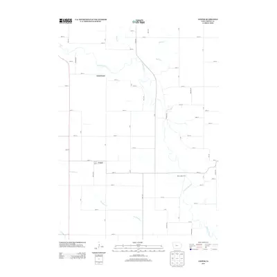
2013 Map of Cooper
USGS Topo · Published 2013About this map
The N Raccoon River winds through the heart of this Greene County landscape, defining the agricultural and riparian character of the region. This 2013 survey highlights the small unincorporated community of Cooper, where residential streets like Vine St and Maple St intersect with the local grid. North of the river, the settlement of Winkelmans sits along the road network, while Buttrick Cr and Hardin Cr flow into the main river valley. The map documents a strictly organized township and range system, typical of the Iowa plains, yet the meandering river and its tributaries like Dead Brier Cr create a natural irregularity. For those studying the geography of Grant Township, the inclusion of the Adkins Bridge Access provides a specific point of reference for river crossing and recreational land use along the valley floor.
Find a feature on this map
49 named features on this map. Tap any name to fly to it.
Don’t see what you’re looking for? This feature index may not catch every label — zoom into the map to look around manually.
Map Details
Editions of this 2013 Cooper Map
This is the sole edition of this map. No revisions or reprints were ever made.
Other maps of this area

1950 · Perry
USGS Topo · 1:62,500

1951 · Perry
USGS Topo · 1:62,500

1951 · Ogden
USGS Topo · 1:62,500

1954 · Bagley
USGS Topo · 1:62,500

1954 · Omaha
USGS Topo · 1:250,000

1954 · Fort Dodge
USGS Topo · 1:250,000

1957 · Omaha
USGS Topo · 1:250,000

1957 · Fort Dodge
USGS Topo · 1:250,000

1958 · Omaha
USGS Topo · 1:250,000

1958 · Fort Dodge
USGS Topo · 1:250,000