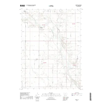
2018 Map of Cooper
USGS Topo · Published 2018About this map
The North Raccoon River carves a winding path through this portion of Greene County, defining the agricultural landscape of south-central Iowa. The small settlement of Cooper serves as a local hub, situated near several rural burial grounds that offer significant value for genealogical research, including Franklin Cem and Saint Marys Cem. To the north, the outskirts of Jefferson and the locality of Winkelmans anchor the map, connected by a grid of secondary roads and county highways such as Co Hwy P26 and Co Hwy E57. The hydrology is particularly well-defined, with tributaries like Dead Brier Cr, Hardin Cr, and Buttrick Cr feeding into the main river valley. This network of waterways and the accompanying wetland areas illustrate the natural drainage patterns of the prairie before the intensification of modern land use.
Find a feature on this map
55 named features on this map. Tap any name to fly to it.
Don’t see what you’re looking for? This feature index may not catch every label — zoom into the map to look around manually.
Map Details
Editions of this 2018 Cooper Map
This is the sole edition of this map. No revisions or reprints were ever made.
Other maps of this area

1950 · Perry
USGS Topo · 1:62,500

1951 · Perry
USGS Topo · 1:62,500

1951 · Ogden
USGS Topo · 1:62,500

1954 · Bagley
USGS Topo · 1:62,500

1954 · Omaha
USGS Topo · 1:250,000

1954 · Fort Dodge
USGS Topo · 1:250,000

1957 · Omaha
USGS Topo · 1:250,000

1957 · Fort Dodge
USGS Topo · 1:250,000

1958 · Omaha
USGS Topo · 1:250,000

1958 · Fort Dodge
USGS Topo · 1:250,000