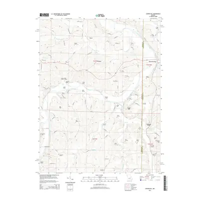
2015 Map of Cooper Hill
USGS Topo · Published 2015About this map
The Gasconade River winds through the borderlands of Osage and Gasconade counties, carving a landscape of steep bluffs and river islands. Settlements like Freedom, Cooper Hill, and Mount Sterling anchor the region, connected by a network of rural routes such as Mo-BB and numerous county roads. The terrain is marked by distinctive elevations like Hood Hill and Clad Ridge, while the river's path is defined by features such as Massie Island and Edwards Bluff.
Find a feature on this map
134 named features on this map. Tap any name to fly to it.
Don’t see what you’re looking for? This feature index may not catch every label — zoom into the map to look around manually.
Map Details
Editions of this 2015 Cooper Hill Map
This is the sole edition of this map. No revisions or reprints were ever made.
Other maps of this area

1890 · Fulton
USGS Topo · 1:125,000

1934 · Linn
USGS Topo · 1:48,000

1934 · Bland
USGS Topo · 1:62,500

1935 · Morrison
USGS Topo · 1:48,000

1937 · Bland
USGS Topo · 1:62,500

1942 · Linn
USGS Topo · 1:62,500

1942 · Morrison
USGS Topo · 1:62,500

1945 · Mokane
USGS Topo · 1:62,500

1945 · Morrison
USGS Topo · 1:62,500

1945 · Linn
USGS Topo · 1:62,500