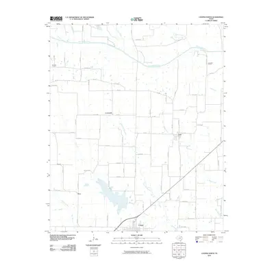
2010 Map of Cooper North
USGS Topo · Published 2010About this map
The North Sulphur River and its various tributaries, including Cane Creek and Maxwell Creek, dominate the rural landscape of northern Delta County. The terrain is defined by a dense network of farm-to-market roads and county routes that connect isolated settlements and family landholdings. In the southern portion of the map, the town of Cooper serves as a primary hub, while smaller communities like Enloe, Crossroads, and Price dot the surrounding countryside.
Find a feature on this map
69 named features on this map. Tap any name to fly to it.
Don’t see what you’re looking for? This feature index may not catch every label — zoom into the map to look around manually.
Map Details
Editions of this 2010 Cooper North Map
This is the sole edition of this map. No revisions or reprints were ever made.
Other maps of this area

1903 · Paris
USGS Topo · 1:125,000

1947 · Honey Grove
USGS Topo · 1:62,500

1948 · Paris
USGS Topo · 1:62,500

1949 · Honey Grove
USGS Topo · 1:62,500

1949 · Paris
USGS Topo · 1:62,500

1953 · Texarkana
USGS Topo · 1:250,000

1956 · Texarkana
USGS Topo · 1:250,000

1964 · Klondike
USGS Topo · 1:24,000

1964 · Charleston
USGS Topo · 1:24,000

1964 · Tira
USGS Topo · 1:24,000