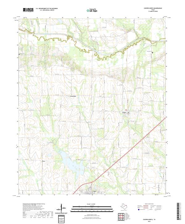
2022 Map of Cooper North
USGS Topo · Published 2022About this map
Cooper anchors the southern boundary of this North Texas survey, where the landscape transitions into the expansive wetlands and river bottoms of the North Sulphur River. The northern portion of the map is defined by the winding course of the river as it follows the boundary between Lamar Co and Delta Co. The drainage patterns are intricate, with numerous tributaries including Rowdy Creek, Cane Creek, and Maxwell Creek feeding into the main river channel.
Find a feature on this map
91 named features on this map. Tap any name to fly to it.
Don’t see what you’re looking for? This feature index may not catch every label — zoom into the map to look around manually.
Map Details
Editions of this 2022 Cooper North Map
This is the sole edition of this map. No revisions or reprints were ever made.
Other maps of this area

1903 · Paris
USGS Topo · 1:125,000

1947 · Honey Grove
USGS Topo · 1:62,500

1948 · Paris
USGS Topo · 1:62,500

1949 · Honey Grove
USGS Topo · 1:62,500

1949 · Paris
USGS Topo · 1:62,500

1953 · Texarkana
USGS Topo · 1:250,000

1956 · Texarkana
USGS Topo · 1:250,000

1964 · Klondike
USGS Topo · 1:24,000

1964 · Charleston
USGS Topo · 1:24,000

1964 · Tira
USGS Topo · 1:24,000