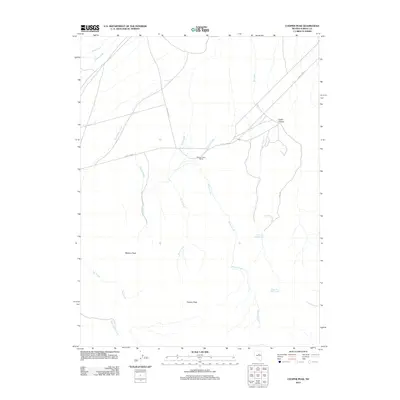
2012 Map of Cooper Peak
USGS Topo · Published 2012About this map
Willow Creek Ranch sits at the heart of this high-desert landscape in Eureka County, where life and travel are dictated by the intermittent drainage of the Roberts Mountains. The drainage network is particularly dense here, with Birch Creek, Kelley Creek, and the long winding course of Willow Creek defining the north-south movement across the terrain. Water sources like Lower Dry Creek Spring and Upper Dry Creek Spring indicate the critical points of hydration for livestock and wildlife in this arid environment.
Find a feature on this map
17 named features on this map. Tap any name to fly to it.
Don’t see what you’re looking for? This feature index may not catch every label — zoom into the map to look around manually.
Map Details
Editions of this 2012 Cooper Peak Map
This is the sole edition of this map. No revisions or reprints were ever made.
Other maps of this area

1926 · Roberts Mountains
USGS Topo · 1:250,000

1929 · Roberts Mountains
USGS Topo · 1:250,000

1937 · Mineral Hill
USGS Topo · 1:48,000

1943 · Mineral Hill
USGS Topo · 1:62,500

1949 · Garden Valley
USGS Topo · 1:62,500

1949 · Roberts Creek Mtn
USGS Topo · 1:62,500

1951 · Roberts Creek Mtn
USGS Topo · 1:62,500

1951 · Garden Valley
USGS Topo · 1:62,500

1955 · Millett
USGS Topo · 1:250,000

1955 · Winnemucca
USGS Topo · 1:250,000