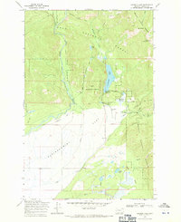
1968 Map of Coopers Lake
USGS Topo · Published 1971About this map
The North Fork Blackfoot River cuts through this high-altitude landscape where the Lolo National Forest and Helena National Forest converge. The topography is dominated by the broad expanse of Kleinschmidt Flat, a notable glacial feature that supported early 20th-century ranching operations like the White Tail Ranch and Copenhaver Ranch. Water management for these agricultural interests is visible through a network of irrigation works, including the Jorgenson Ditch, Old Ditch, and Spieker Ditch. Local civic life in this remote corner of Powell County is represented by the Salmon Creek Sch, while recreation centers around Coopers Lake and the Big Nelson Campground. Numerous pack trails, such as the Meadow Creek Trail, provide access through Echo Pass and toward Echo Mountain.
Find a feature on this map
38 named features on this map. Tap any name to fly to it.
Don’t see what you’re looking for? This feature index may not catch every label — zoom into the map to look around manually.
Map Details
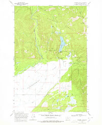
Editions of this 1968 Coopers Lake Map
2 editions found
Other maps of this area

1889 · Helena
USGS Topo · 1:250,000

1893 · Helena
USGS Topo · 1:250,000

1899 · Helena
USGS Topo · 1:250,000

1902 · Ovando
USGS Topo · 1:125,000

1903 · Coopers Lake
USGS Topo · 1:125,000

1903 · Helena
USGS Topo · 1:250,000

1905 · Ovando
USGS Topo · 1:125,000

1919 · Drummond
USGS Topo · 1:125,000

1921 · Drummond
USGS Topo · 1:125,000

1947 · Butte
USGS Topo · 1:250,000