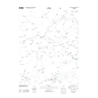
2013 Map of Coopersville
USGS Topo · Published 2013About this map
Cedar Hill Baptist Church Cem and the small settlements of Gregory and Pueblo anchor this portion of the Kentucky landscape. The geography is defined by a dense concentration of family cemeteries, such as Patience Simpson Cem, Morrow Dodson Cem, and Warren Denney Cem, which offer significant value for genealogical research. The terrain is marked by prominent cliffs and ridges, including Tabletop Cliff, Shade Cliff, and Alum Cave Ridge, while the northern reaches feature curious landmarks like The Thrashing Rock and Buffalo Wallow. In the south, the community of Coopersville sits near Bell Ridge, while the southern border traces the path of Kidds Br and the junction at Kidds Crossing. The distribution of burial sites and small crossroads like Slavans suggests a deeply rooted rural society where life revolved around family plots and local congregations like Shiloh Church.
Find a feature on this map
187 named features on this map. Tap any name to fly to it.
Don’t see what you’re looking for? This feature index may not catch every label — zoom into the map to look around manually.
Map Details
Editions of this 2013 Coopersville Map
This is the sole edition of this map. No revisions or reprints were ever made.
Other maps of this area

1911 · Monticello
USGS Topo · 1:62,500

1914 · Monticello
USGS Topo · 1:62,500

1932 · Burnside
USGS Topo · 1:62,500

1934 · Barthell
USGS Topo · 1:62,500

1934 · Pall Mall
USGS Topo · 1:62,500

1953 · Frazer
USGS Topo · 1:24,000

1953 · Monticello
USGS Topo · 1:24,000

1953 · Mill Springs
USGS Topo · 1:24,000

1954 · Parmleysville
USGS Topo · 1:24,000

1954 · Coopersville
USGS Topo · 1:24,000