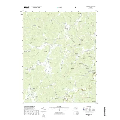
2019 Map of Coopersville
USGS Topo · Published 2019About this map
Kidds Crossing and Slavans sit at the southern edge of this Kentucky survey, where the winding course of the Little South Fork river cuts through the terrain. The landscape is characterized by its high concentrations of family cemeteries, such as the Shade Thompson Cem, Romer-Keith Cem, and Patience Simpson Cem, suggesting deep ancestral roots in these communities.
Find a feature on this map
161 named features on this map. Tap any name to fly to it.
Don’t see what you’re looking for? This feature index may not catch every label — zoom into the map to look around manually.
Map Details
Editions of this 2019 Coopersville Map
This is the sole edition of this map. No revisions or reprints were ever made.
Other maps of this area

1911 · Monticello
USGS Topo · 1:62,500

1914 · Monticello
USGS Topo · 1:62,500

1932 · Burnside
USGS Topo · 1:62,500

1934 · Barthell
USGS Topo · 1:62,500

1934 · Pall Mall
USGS Topo · 1:62,500

1953 · Frazer
USGS Topo · 1:24,000

1953 · Monticello
USGS Topo · 1:24,000

1953 · Mill Springs
USGS Topo · 1:24,000

1954 · Parmleysville
USGS Topo · 1:24,000

1954 · Coopersville
USGS Topo · 1:24,000