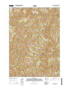
2014 Map of Coos Mountain
USGS Topo · Published 2014About this map
Coos Mountain anchors this 2014 survey of the high, drainage-rich divide in Coos County, Oregon. The landscape is defined by its intricate network of waterways flowing from the central heights, including the South Fork Coos River to the north and the headwaters of the N Fork Coquille River further south. The map documents the complex topography where numerous small tributaries like Salmon Cr, Rock Crusher Cr, and Little N Fork Coquille River have carved deep valleys. While the area is largely characterized by its timber-growing potential and watershed importance, the presence of Fairview Rd and various forest access routes provides a record of the modern transportation network used to navigate these steep coastal ranges. This data-rich topographic study is essential for understanding the hydrology and land management of the Oregon Coast Range.
Find a feature on this map
22 named features on this map. Tap any name to fly to it.
Don’t see what you’re looking for? This feature index may not catch every label — zoom into the map to look around manually.
Map Details
Editions of this 2014 Coos Mountain Map
This is the sole edition of this map. No revisions or reprints were ever made.
Other maps of this area

1896 · Coos Bay
USGS Topo · 1:125,000

1898 · Coos Bay
USGS Topo · 1:125,000

1900 · Coos Bay
USGS Topo · 1:125,000

1928 · Sitkum
USGS Topo · 1:125,000

1942 · Coquille
USGS Topo · 1:62,500

1942 · Coos Bay
USGS Topo · 1:62,500

1945 · Coquille
USGS Topo · 1:62,500

1945 · Coos Bay
USGS Topo · 1:62,500

1954 · Coos Bay
USGS Topo · 1:250,000

1955 · Ivers Peak
USGS Topo · 1:62,500