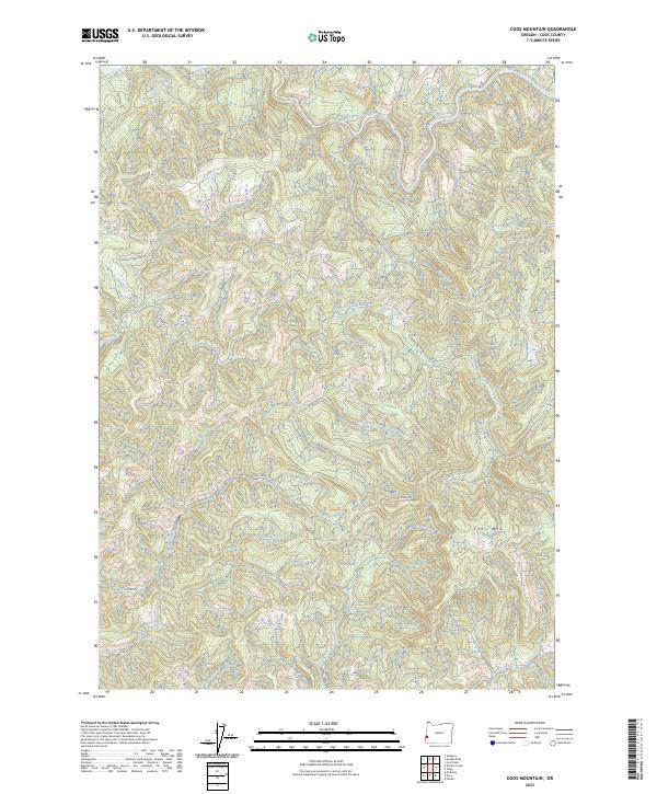
2023 Map of Coos Mountain
USGS Topo · Published 2023About this map
The divide between major coastal watersheds is defined by the elevation of Coos Mtn, where headwaters flow toward two distinct river systems. This terrain in Coos County separates the drainage of the South Fork Coos River in the north from the extensive network of the North Fork Coquille River and its tributary, the Little North Fork Coquille River, to the south. The landscape is characterized by steep timberlands and narrow creek valleys, with Fork Ridge serving as a prominent landform between the Moon Creek and Alder Creek drainages.
Find a feature on this map
24 named features on this map. Tap any name to fly to it.
Don’t see what you’re looking for? This feature index may not catch every label — zoom into the map to look around manually.
Map Details
Editions of this 2023 Coos Mountain Map
This is the sole edition of this map. No revisions or reprints were ever made.
Other maps of this area

1896 · Coos Bay
USGS Topo · 1:125,000

1898 · Coos Bay
USGS Topo · 1:125,000

1900 · Coos Bay
USGS Topo · 1:125,000

1928 · Sitkum
USGS Topo · 1:125,000

1942 · Coquille
USGS Topo · 1:62,500

1942 · Coos Bay
USGS Topo · 1:62,500

1945 · Coquille
USGS Topo · 1:62,500

1945 · Coos Bay
USGS Topo · 1:62,500

1954 · Coos Bay
USGS Topo · 1:250,000

1955 · Ivers Peak
USGS Topo · 1:62,500