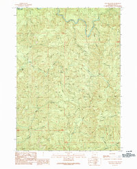
1990 Map of Coos Mountain
USGS Topo · Published 1990About this map
Dellwood serves as the primary named settlement in this pocket of the Oregon Coast Range, where the drainage systems of the South Fork Coos River and the North Fork Coquille River converge. The landscape is defined by its complex network of seasonal and perennial streams, including Salmon Creek and Cox Creek, which carve through the high elevations of Coos Mountain. The drainage patterns here are significant, as they mark the divide between the Coos and Coquille river systems.
Find a feature on this map
22 named features on this map. Tap any name to fly to it.
Don’t see what you’re looking for? This feature index may not catch every label — zoom into the map to look around manually.
Map Details
Editions of this 1990 Coos Mountain Map
This is the sole edition of this map. No revisions or reprints were ever made.
Other maps of this area

1896 · Coos Bay
USGS Topo · 1:125,000

1898 · Coos Bay
USGS Topo · 1:125,000

1900 · Coos Bay
USGS Topo · 1:125,000

1928 · Sitkum
USGS Topo · 1:125,000

1942 · Coquille
USGS Topo · 1:62,500

1942 · Coos Bay
USGS Topo · 1:62,500

1945 · Coquille
USGS Topo · 1:62,500

1945 · Coos Bay
USGS Topo · 1:62,500

1954 · Coos Bay
USGS Topo · 1:250,000

1955 · Ivers Peak
USGS Topo · 1:62,500