
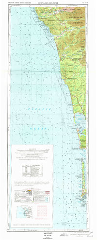
1957 Map of Copalis Beach
USGS Topo · Published 1968About this map
The Pacific Ocean coastline of western Washington unfolds in this mid-century survey, detailing the rugged geography from the Quillayute River down to the Columbia River mouth. The era's logging economy is anchored by inland settlements like Forks and Carlisle, with a shingle mill near Forks Cemetery providing a local industrial anchor. Significant portions of the landscape are managed as the Quinault Indian Reservation, Hoh Indian Res, and Quillayute Indian Res, while the northern reaches transitions into Olympic National Park.
Find a feature on this map
75 named features on this map. Tap any name to fly to it.
Don’t see what you’re looking for? This feature index may not catch every label — zoom into the map to look around manually.
Map Details
Editions of this 1957 Copalis Beach Map
2 editions found
Other maps of this area

1918 · Lake Crescent
USGS Topo · 1:62,500

1919 · Astoria
USGS Topo · 1:62,500

1921 · Quinault Lake
USGS Topo · 1:62,500

1922 · Pysht
USGS Topo · 1:62,500

1922 · Lake Crescent
USGS Topo · 1:62,500

1935 · Ozette Lake
USGS Topo · 1:62,500

1935 · Lake Pleasant
USGS Topo · 1:62,500

1938 · Cape Disappointment
USGS Topo · 1:62,500

1938 · Cape Shoalwater
USGS Topo · 1:62,500

1938 · Fort Columbia
USGS Topo · 1:62,500