
1956 Map of Copalis Crossing
USGS Topo · Published 1977About this map
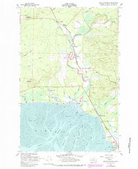
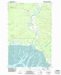
The Humptulips River snakes through the center of this coastal landscape, creating a complex network of wetlands and sloughs before emptying into the North Bay. This 1950s survey captures a transition in the local economy, where the Burlington Northern railroad links several small settlements and sidings like Copalis Crossing, Wilderness, and Newton. The infrastructure of the era is evident in the numerous piling markers along the Tidal Flat, indicating active river use or previous industrial footprints.
Find a feature on this map
33 named features on this map. Tap any name to fly to it.
Don’t see what you’re looking for? This feature index may not catch every label — zoom into the map to look around manually.
Map Details
Editions of this 1956 Copalis Crossing Map
4 editions found

Other maps of this area

1938 · Moclips
USGS Topo · 1:62,500

1941 · Moclips
USGS Topo · 1:62,500

1941 · Grayland
USGS Topo · 1:62,500

1943 · Humptulips
USGS Topo · 1:62,500

1943 · Copalis Beach
USGS Topo · 1:250,000

1951 · Copalis Beach
USGS Topo · 1:250,000

1953 · Hoquiam
USGS Topo · 1:250,000

1955 · Humptulips
USGS Topo · 1:62,500

1955 · Point Brown
USGS Topo · 1:24,000

1955 · Carlisle
USGS Topo · 1:24,000