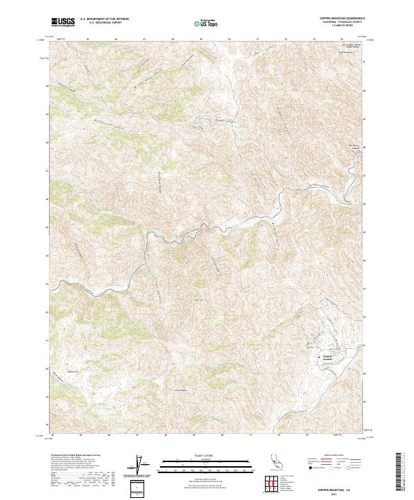
2021 Map of Copper Mountain
USGS Topo · Published 2021About this map
Diablo Grande sits as a primary point of interest in this section of the San Joaquin Valley Diablo Range, where the terrain is defined by a dense network of gulches and canyons. The landscape transition from the high peaks of Copper Mtn down into the expansive Adobe Flat and Ballard Flat illustrates the natural drainage patterns of the region, where seasonal water sources like Salt Grass Springs and Fellows Spring provided critical moisture in an otherwise arid environment.
Find a feature on this map
47 named features on this map. Tap any name to fly to it.
Don’t see what you’re looking for? This feature index may not catch every label — zoom into the map to look around manually.
Map Details
Editions of this 2021 Copper Mountain Map
This is the sole edition of this map. No revisions or reprints were ever made.
Other maps of this area

1913 · Romain
USGS Topo · 1:31,680

1915 · Westley
USGS Topo · 1:31,680

1916 · Patterson
USGS Topo · 1:31,680

1916 · Romain
USGS Topo · 1:31,680

1919 · Orestimba
USGS Topo · 1:62,500

1919 · Orestimba Creek
USGS Topo · 1:31,680

1922 · Carbona
USGS Topo · 1:62,500

1938 · Mt. Boardman
USGS Topo · 1:62,500

1941 · Orestimba
USGS Topo · 1:62,500
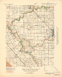
1941 · Modesto West
USGS Topo · 1:62,500