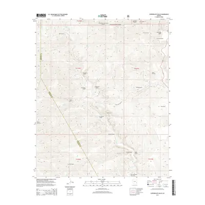
2014 Map of Copperplate Gulch
USGS Topo · Published 2014About this map
Eagle Cr serves as the central drainage for this high-elevation landscape within the Apache National Forest, cutting a deep path through the Graham and Greenlee county line. The terrain is defined by its mining and geological heritage, evident in names such as Copper Mountain, Copperplate Gulch, Gold Gulch, and Silver Basin. These labels, alongside the Coronado Incline near Coronado Mountain, suggest a history of resource extraction and steep-grade transport in the Arizona backcountry. Water sources like Hot Springs, Garcia Spring, and Smith Spring provide critical relief in this arid environment. The map details the complex drainage networks of Trujillo Canyon and Guswert Canyon, and highlights the isolation of landmarks like Turtle Mountain, accessible only via routes such as the Lower Eagle Creek Rd.
Find a feature on this map
36 named features on this map. Tap any name to fly to it.
Don’t see what you’re looking for? This feature index may not catch every label — zoom into the map to look around manually.
Map Details
Editions of this 2014 Copperplate Gulch Map
This is the sole edition of this map. No revisions or reprints were ever made.
Other maps of this area

1902 · Clifton
USGS Topo · 1:62,500

1913 · Morenci
USGS Topo · 1:125,000

1915 · Morenci
USGS Topo · 1:125,000

1954 · Silver City
USGS Topo · 1:250,000

1954 · Clifton
USGS Topo · 1:250,000

1957 · Clifton
USGS Topo · 1:250,000

1958 · Silver City
USGS Topo · 1:250,000

1958 · Clifton
USGS Topo · 1:250,000

1960 · Guthrie
USGS Topo · 1:62,500

1960 · Safford
USGS Topo · 1:62,500