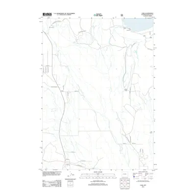
2012 Map of Cora
USGS Topo · Published 2012About this map
Cora and the surrounding high-country ranching landscape appear here as documented in 2012. The area is defined by a network of glacial waterways and drainage systems, including the New Fork River and the meandering Willow Cr. In the northern portion of the map, the Willow Lake Campground sits along the shores of Willow Lake, marking a point of transition from the working ranch lands below to the more mountainous terrain above. Large-scale ranching operations are anchored by sites like the Bar Cross Ranch, which sits at the head of the valley near the New Fork River. The local road network, including names like Noble Rd and Kitchen Ranch Rd, traces the historical access points between these remote properties. Geographic landmarks such as Spring Gulch and Hay Gulch break the open terrain, illustrating the water-carved topography that has dictated land use and settlement patterns in this part of Sublette County.
Find a feature on this map
33 named features on this map. Tap any name to fly to it.
Don’t see what you’re looking for? This feature index may not catch every label — zoom into the map to look around manually.
Map Details
Editions of this 2012 Cora Map
This is the sole edition of this map. No revisions or reprints were ever made.
Other maps of this area

1907 · Gros Ventre
USGS Topo · 1:125,000

1909 · Fremont Peak
USGS Topo · 1:125,000

1910 · Gros Ventre
USGS Topo · 1:125,000

1939 · Big Piney
USGS Topo · 1:125,000

1942 · Big Piney
USGS Topo · 1:125,000

1955 · Driggs
USGS Topo · 1:250,000

1955 · Preston
USGS Topo · 1:250,000

1955 · Thermopolis
USGS Topo · 1:250,000

1955 · Lander
USGS Topo · 1:250,000

1958 · Driggs
USGS Topo · 1:250,000