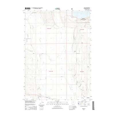
2015 Map of Cora
USGS Topo · Published 2015About this map
Cora and the northern reaches of Pinedale define the human footprint in this corner of Sublette County, where ranching heritage meets the high-country wilderness. The landscape is dominated by the complex hydrology of the Upper Green River Valley, with the New Fork River and Willow Cr meandering through open basin land before the terrain rises into the timbered slopes of the Bridger National Forest. The transition from valley floor to mountains is marked by the deep waters of Willow Lake and the cluster of Chain Lakes to the south.
Find a feature on this map
42 named features on this map. Tap any name to fly to it.
Don’t see what you’re looking for? This feature index may not catch every label — zoom into the map to look around manually.
Map Details
Editions of this 2015 Cora Map
This is the sole edition of this map. No revisions or reprints were ever made.
Other maps of this area
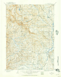
1907 · Gros Ventre
USGS Topo · 1:125,000
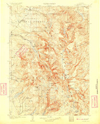
1909 · Fremont Peak
USGS Topo · 1:125,000
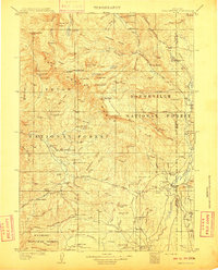
1910 · Gros Ventre
USGS Topo · 1:125,000
1939 · Big Piney
USGS Topo · 1:125,000
1942 · Big Piney
USGS Topo · 1:125,000

1955 · Driggs
USGS Topo · 1:250,000

1955 · Preston
USGS Topo · 1:250,000

1955 · Thermopolis
USGS Topo · 1:250,000

1955 · Lander
USGS Topo · 1:250,000
1958 · Driggs
USGS Topo · 1:250,000