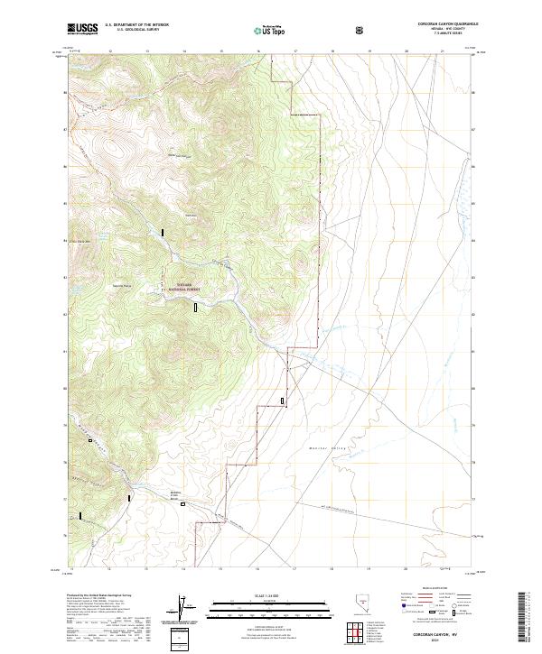
2021 Map of Corcoran Canyon
USGS Topo · Published 2021About this map
The Toquima Range dominates this portion of the Toyabe National Forest, where deep drainages like Corcoran Canyon and Trail Canyon carve through the high-elevation landscape. The eastern edge of the range descends into the broad expanse of Monitor Valley, creating a distinct topographic break where steep ridges meet the valley floor. High-altitude water sources such as Corcoran Divide Spring and Little Table Mountain Spring indicate the critical hydrology of these mountains.
Find a feature on this map
31 named features on this map. Tap any name to fly to it.
Don’t see what you’re looking for? This feature index may not catch every label — zoom into the map to look around manually.
Map Details
Editions of this 2021 Corcoran Canyon Map
This is the sole edition of this map. No revisions or reprints were ever made.
Other maps of this area

1956 · Tonopah
USGS Topo · 1:250,000

1959 · Tonopah
USGS Topo · 1:250,000

1962 · Tonopah
USGS Topo · 1:250,000

1971 · Belmont East
USGS Topo · 1:24,000

1971 · Corcoran Canyon
USGS Topo · 1:24,000

1971 · Barley Creek
USGS Topo · 1:24,000
1971 · Elkhorn Canyon
USGS Topo · 1:24,000

1971 · Mosquito Creek
USGS Topo · 1:24,000

1971 · Belmont West
USGS Topo · 1:24,000

1971 · Jefferson
USGS Topo · 1:24,000