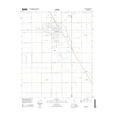
2015 Map of Corcoran
USGS Topo · Published 2015About this map
Corcoran serves as a central hub for agriculture and transit in the San Joaquin Valley, characterized by a complex network of irrigation that supports the surrounding farm economy. The landscape is defined by its geometry, where an intricate system of waterways like Ax Canal, Sweet Canal, and the Daulton Ditch crisscross the flat terrain. This map reveals the transition between the urban center of Corcoran and the southern extension of South Corcoran, as well as the outlying settlement of Blanco. Infrastructure for the local aviation and transport sectors is prominent, including the Corcoran Airport and Salyer Farms Airport. The natural course of the Tule River and the East Branch Cross Creek intersect with man-made features like the E Hansen Fisk Ditch, illustrating a century of water management essential to the region's survival and growth.
Find a feature on this map
64 named features on this map. Tap any name to fly to it.
Don’t see what you’re looking for? This feature index may not catch every label — zoom into the map to look around manually.
Map Details
Editions of this 2015 Corcoran Map
This is the sole edition of this map. No revisions or reprints were ever made.
Other maps of this area

1914 · Lost Hills
USGS Topo · 1:125,000

1927 · Lake View School
USGS Topo · 1:31,680

1927 · Paige
USGS Topo · 1:31,680

1928 · Waukena
USGS Topo · 1:31,680

1928 · Corcoran
USGS Topo · 1:31,680

1929 · Alpaugh
USGS Topo · 1:31,680

1929 · Guernsey
USGS Topo · 1:31,680

1929 · West Alpaugh
USGS Topo · 1:31,680

1931 · Harvester
USGS Topo · 1:31,680

1932 · El Rico Ranch
USGS Topo · 1:31,680