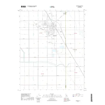
2018 Map of Corcoran
USGS Topo · Published 2018About this map
Corcoran serves as the focal point of this Central California landscape, situated within the fertile San Joaquin Valley. The map reveals a complex hydraulic network essential to the region's agricultural identity, featuring an intricate system of canals and ditches such as the Sweet Canal, N Corcoran Ditch, and Helm-Lewis Ditch. This 2018 survey illustrates how water management shapes the grid of the valley floor, with the Tule River winding through the southern portion of the quadrangle.
Find a feature on this map
68 named features on this map. Tap any name to fly to it.
Don’t see what you’re looking for? This feature index may not catch every label — zoom into the map to look around manually.
Map Details
Editions of this 2018 Corcoran Map
This is the sole edition of this map. No revisions or reprints were ever made.
Other maps of this area

1914 · Lost Hills
USGS Topo · 1:125,000

1927 · Lake View School
USGS Topo · 1:31,680

1927 · Paige
USGS Topo · 1:31,680

1928 · Waukena
USGS Topo · 1:31,680

1928 · Corcoran
USGS Topo · 1:31,680

1929 · Alpaugh
USGS Topo · 1:31,680

1929 · Guernsey
USGS Topo · 1:31,680

1929 · West Alpaugh
USGS Topo · 1:31,680

1931 · Harvester
USGS Topo · 1:31,680

1932 · El Rico Ranch
USGS Topo · 1:31,680