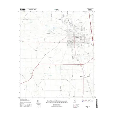
2014 Map of Cordele
USGS Topo · Published 2014About this map
Cordele serves as the central hub of this Georgia landscape, defined by a dense grid of residential and commercial avenues that expand outward from the city center. The surrounding countryside is dotted with long-established landmarks, including several family and community burial grounds such as Whitsett Cem, Slade Cem, and Ebenezer Cem. Transportation and industry are centered around the Crisp County-Cordele Airport and the smaller outlying settlements of Wenona and Raines. The hydrological character of the region is shaped by several significant water bodies, notably Byrds Millpond and Williams Lake, which feed into the winding courses of Gum Cr and Cedar Cr. This survey illustrates the relationship between the organized urban expansion of Cordele and the agricultural and water-resource-dependent areas that define the Crisp County periphery.
Find a feature on this map
166 named features on this map. Tap any name to fly to it.
Don’t see what you’re looking for? This feature index may not catch every label — zoom into the map to look around manually.
Map Details
Editions of this 2014 Cordele Map
This is the sole edition of this map. No revisions or reprints were ever made.
Other maps of this area

1953 · Waycross
USGS Topo · 1:250,000

1957 · Macon
USGS Topo · 1:250,000

1958 · Macon
USGS Topo · 1:250,000

1958 · Waycross
USGS Topo · 1:250,000

1964 · Macon
USGS Topo · 1:250,000

1971 · Pineview SW
USGS Topo · 1:24,000

1972 · Drayton
USGS Topo · 1:24,000
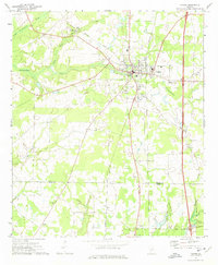
1972 · Vienna
USGS Topo · 1:24,000
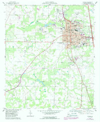
1974 · Cordele
USGS Topo · 1:24,000
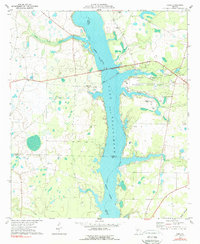
1977 · Cobb
USGS Topo · 1:24,000