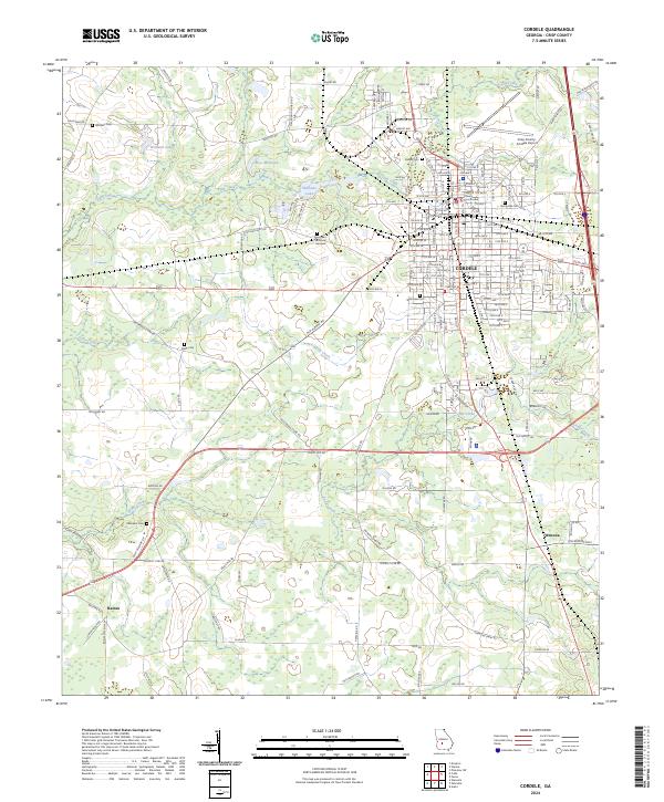
2024 Map of Cordele
USGS Topo · Published 2024About this map
The city of Cordele serves as a dense hub of grid-style urban planning in South Georgia, anchored by the Crisp County Courthouse. The landscape surrounding the city is defined by the winding waters of Gum Creek and Cedar Creek, which feed into local landmarks like Williams Lake and Rays Millpond. This contemporary survey shows how the residential and commercial corridors of the county seat transition into the agricultural outskirts of Wenona and Raines.
Find a feature on this map
149 named features on this map. Tap any name to fly to it.
Don’t see what you’re looking for? This feature index may not catch every label — zoom into the map to look around manually.
Map Details
Editions of this 2024 Cordele Map
This is the sole edition of this map. No revisions or reprints were ever made.
Other maps of this area

1953 · Waycross
USGS Topo · 1:250,000

1957 · Macon
USGS Topo · 1:250,000

1958 · Macon
USGS Topo · 1:250,000

1958 · Waycross
USGS Topo · 1:250,000

1964 · Macon
USGS Topo · 1:250,000

1971 · Pineview SW
USGS Topo · 1:24,000

1972 · Drayton
USGS Topo · 1:24,000
1972 · Vienna
USGS Topo · 1:24,000
1974 · Cordele
USGS Topo · 1:24,000
1977 · Cobb
USGS Topo · 1:24,000