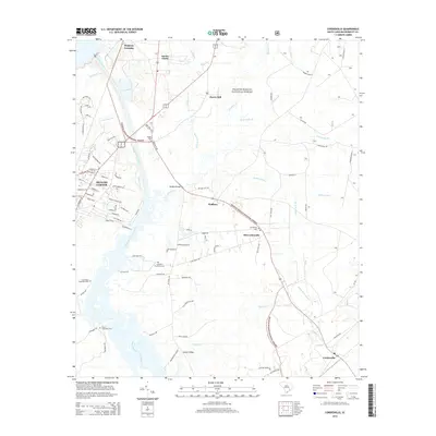
2014 Map of Cordesville
USGS Topo · Published 2014About this map
Francis Marion National Forest dominates the eastern landscape of this quadrangle, framing a transition from the dense woodlands to the waters of the West Branch Cooper River. Near the commercial hub of Moncks Corner, the historical engineering of the Old Santee Canal sits adjacent to the modern Tailrace Canal, showing the long evolution of water management and transport in Berkeley County.
Find a feature on this map
89 named features on this map. Tap any name to fly to it.
Don’t see what you’re looking for? This feature index may not catch every label — zoom into the map to look around manually.
Map Details
Editions of this 2014 Cordesville Map
This is the sole edition of this map. No revisions or reprints were ever made.
Other maps of this area

1919 · Summerville
USGS Topo · 1:48,000
1919 · Cordesville
USGS Topo · 1:48,000
1920 · Chicora
USGS Topo · 1:48,000
1920 · Summerville
USGS Topo · 1:62,500
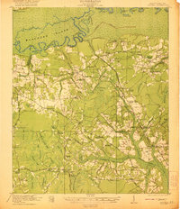
1921 · Chicora
USGS Topo · 1:62,500
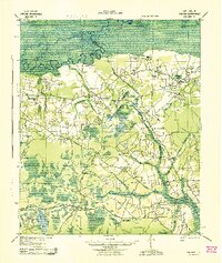
1943 · Chicora
USGS Topo · 1:62,500
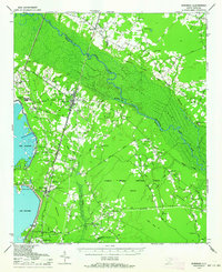
1943 · Bonneau
USGS Topo · 1:62,500
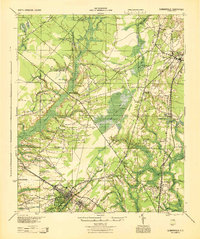
1944 · Summerville
USGS Topo · 1:62,500
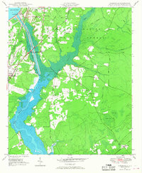
1948 · Cordesville
USGS Topo · 1:24,000
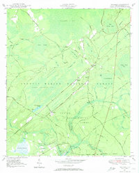
1948 · Bethera
USGS Topo · 1:24,000