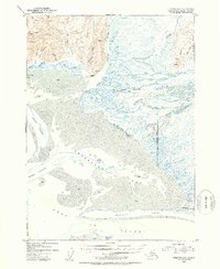
1953 Map of Cordova A-1
USGS Topo · Published 1954About this map
The Bering River delta dominates this coastal landscape at the edge of the Gulf of Alaska, where shifting silt and mud flats create a complex network of waterways. In the early 1950s, the area around Controller Bay remained largely primitive, characterized by remote Cabin sites and the remnants of industrial activity, such as the Cannery (Aband) near the mouth of Chilkat Creek. Large island landmasses like Kanak Island and Wingham Island provide natural barriers for the Okalee Channel. Inland, the terrain rises sharply toward Nichawak Mountain, with numerous glacial streams including the Nichawak River and Campbell River feeding into the bay. This survey captures a specific moment in the shoreline's evolution before the massive geological shifts of the 1964 earthquake, showing the precise extent of the Okalee Spit and extensive mud flats as they existed at mid-century.
Find a feature on this map
39 named features on this map. Tap any name to fly to it.
Don’t see what you’re looking for? This feature index may not catch every label — zoom into the map to look around manually.
Map Details
Editions of this 1953 Cordova A-1 Map
2 editions found
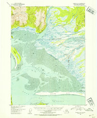
Other maps of this area

1948 · Cordova
USGS Topo · 1:250,000

1948 · Middleton Island
USGS Topo · 1:250,000

1950 · Middleton Island
USGS Topo · 1:250,000

1950 · Bering Glacier
USGS Topo · 1:250,000

1950 · Icy Bay
USGS Topo · 1:250,000

1950 · Cordova B-2
USGS Topo · 1:63,360

1950 · Cordova A-1
USGS Topo · 1:63,360

1950 · Cordova A-2
USGS Topo · 1:63,360

1951 · Icy Bay
USGS Topo · 1:250,000

1951 · Bering Glacier
USGS Topo · 1:250,000