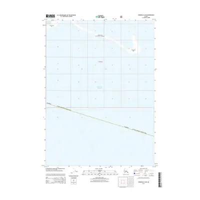
2014 Map of Cordova A-4 NE
USGS Topo · Published 2014About this map
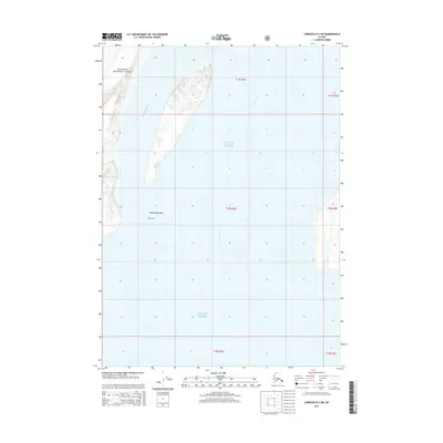
The Gulf of Alaska coastline dominates this 2014 survey, highlighting the dynamic coastal bars that shape the northern Pacific shoreline. The territory is defined by shifting sands and administrative boundaries, where the Chugach National Forest meets the open water. Extensive maritime features such as Grass Island Bar and Kokinhenik Bar are prominently mapped, illustrating the sediment patterns and sandbars that characterize this stretch of the Alaska Valdez-Cordova Census Area. This topographic study captures a largely unpopulated maritime landscape where the primary landmarks are those formed by the tides and the long-standing legal designations of federal forest lands.
Find a feature on this map
5 named features on this map. Tap any name to fly to it.
Don’t see what you’re looking for? This feature index may not catch every label — zoom into the map to look around manually.
Map Details
Editions of this 2014 Cordova A-4 NE Map
This is the sole edition of this map. No revisions or reprints were ever made.
Other maps of this area

1948 · Cordova
USGS Topo · 1:250,000

1951 · Cordova
USGS Topo · 1:250,000

1951 · Cordova B-4
USGS Topo · 1:63,360

1952 · Cordova B-3
USGS Topo · 1:63,360

1953 · Cordova B-3
USGS Topo · 1:63,360

1959 · Cordova
USGS Topo · 1:250,000
1988 · Cordova A-3
USGS Topo · 1:63,360
1988 · Cordova A-4
USGS Topo · 1:63,360
1994 · Cordova B-4
USGS Topo · 1:63,360
2014 · Cordova B-3 SW
USGS Topo · 1:25,000