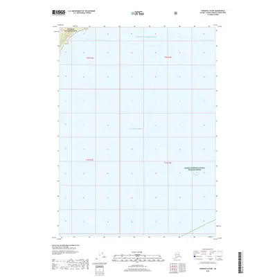
2018 Map of Cordova A-8 NW
USGS Topo · Published 2018About this map
Prince William Sound and the Gulf of Alaska meet in this coastal survey, where the open sea gives way to protected inlets and mountainous shores. This maritime environment is defined by its conservation status, featuring the eastern edge of the Chugach National Forest in the northwestern corner and the Alaska Maritime National Wildlife Refuge to the southeast. The map illustrates the intersection of these major maritime bodies and the administrative township and range lines that divide the waters, providing a clear view of the territorial boundaries within the Unorganized Borough. Though primarily an aquatic sheet, the inclusion of national forest and wildlife refuge lands indicates the importance of habitat preservation in this transition zone between the gulf and the sound.
Find a feature on this map
8 named features on this map. Tap any name to fly to it.
Don’t see what you’re looking for? This feature index may not catch every label — zoom into the map to look around manually.
Map Details
Editions of this 2018 Cordova A-8 NW Map
This is the sole edition of this map. No revisions or reprints were ever made.
Other maps of this area

1948 · Cordova
USGS Topo · 1:250,000

1951 · Seward
USGS Topo · 1:250,000

1951 · Cordova
USGS Topo · 1:250,000

1951 · Seward B-1
USGS Topo · 1:63,360

1951 · Seward A-1
USGS Topo · 1:63,360

1951 · Cordova B-8
USGS Topo · 1:63,360
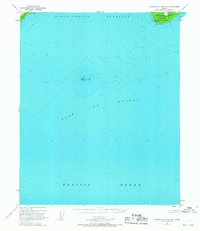
1951 · Cordova A-7 and A-8
USGS Topo · 1:63,360

1952 · Seward B-1
USGS Topo · 1:63,360

1953 · Seward A-1
USGS Topo · 1:63,360
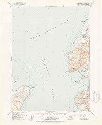
1953 · Cordova B-8
USGS Topo · 1:63,360