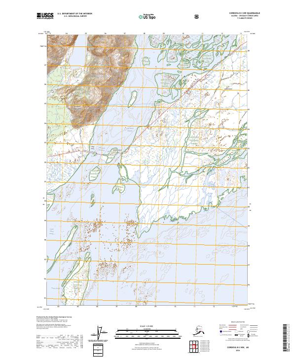
2024 Map of Cordova B-3 NW
USGS Topo · Published 2024About this map
The intricate coastal waterways of the Copper River delta define this 2024 landscape in the Chugach National Forest. Characterized by a complex network of glacial silt deposits and braided channels, the area features prominent water passages like Long Island Channel and Flag Point Channel. These shifting maritime arteries are critical to the region's geography, illustrating how the river's output interacts with the Gulf of Alaska. Further west, Castle Island Slough winds through the wetlands, providing a glimpse into the tidal and freshwater drainage patterns that have shaped this portion of the Alaska coast for decades. The map serves as a contemporary record of these dynamic hydrological features, useful for tracing the evolution of the delta's shoreline and navigable paths.
Find a feature on this map
3 named features on this map. Tap any name to fly to it.
Don’t see what you’re looking for? This feature index may not catch every label — zoom into the map to look around manually.
Map Details
Editions of this 2024 Cordova B-3 NW Map
This is the sole edition of this map. No revisions or reprints were ever made.
Other maps of this area

1948 · Cordova
USGS Topo · 1:250,000

1950 · Cordova C-4
USGS Topo · 1:63,360

1951 · Cordova
USGS Topo · 1:250,000

1951 · Cordova B-4
USGS Topo · 1:63,360

1951 · Cordova C-3
USGS Topo · 1:63,360

1952 · Cordova B-3
USGS Topo · 1:63,360

1953 · Cordova C-3
USGS Topo · 1:63,360

1953 · Cordova C-4
USGS Topo · 1:63,360

1953 · Cordova B-3
USGS Topo · 1:63,360

1959 · Cordova
USGS Topo · 1:250,000