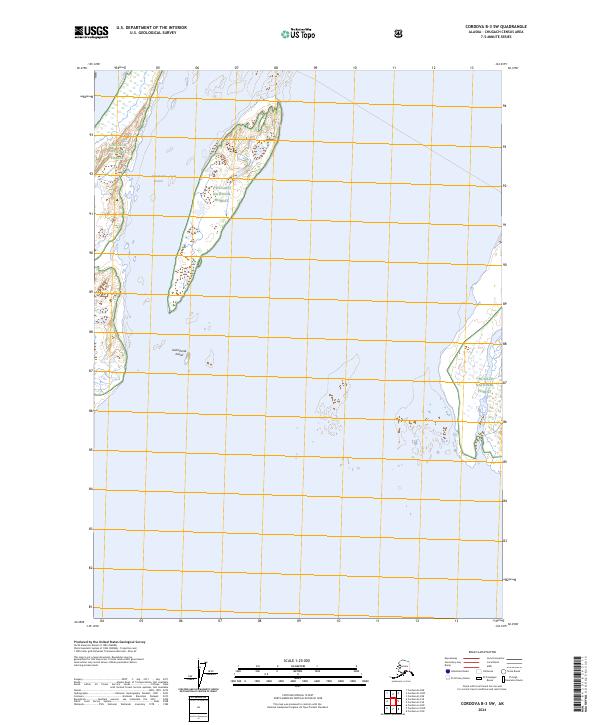
2024 Map of Cordova B-3 SW
USGS Topo · Published 2024About this map
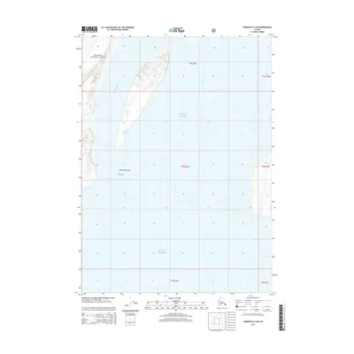
Kokinhenik Island dominates this coastal survey within the Chugach National Forest, defined by its shifting sandbars and tidal reaches. The landscape is characterized by the complex interaction of the Kokinhenik Branch and the surrounding marine environment, where wetlands and intertidal flats meet the forested uplands. The absence of roads or permanent settlements underscores the primitive nature of this section of the Alaska coast, where landforms are dictated by glacial runoff and the energy of the North Pacific. The grid of the Public Land Survey System, including t17s r2e and t18s r2e, provides the only human-imposed structure over a geography shaped by dynamic fluvial processes and high-latitude vegetation patterns.
Find a feature on this map
10 named features on this map. Tap any name to fly to it.
Don’t see what you’re looking for? This feature index may not catch every label — zoom into the map to look around manually.
Map Details
Editions of this 2024 Cordova B-3 SW Map
This is the sole edition of this map. No revisions or reprints were ever made.
Other maps of this area

1948 · Cordova
USGS Topo · 1:250,000

1951 · Cordova
USGS Topo · 1:250,000

1951 · Cordova B-4
USGS Topo · 1:63,360

1952 · Cordova B-3
USGS Topo · 1:63,360

1953 · Cordova B-3
USGS Topo · 1:63,360

1959 · Cordova
USGS Topo · 1:250,000
1988 · Cordova A-3
USGS Topo · 1:63,360
1988 · Cordova A-4
USGS Topo · 1:63,360
1994 · Cordova B-4
USGS Topo · 1:63,360
2014 · Cordova B-3 SW
USGS Topo · 1:25,000