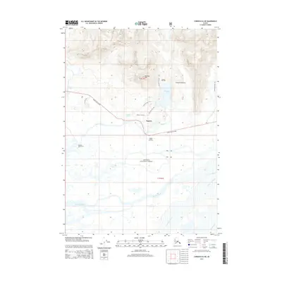
2014 Map of Cordova B-4 NE
USGS Topo · Published 2014About this map
The delta complex where the Chugach Mountains meet the coastal lowlands defines this portion of the Chugach National Forest. Central to the landscape is the historic site of Alaganik, positioned near the Alaganik Slough and the modern path of the Copper River Highway. The terrain transitions sharply from the tidal influence of Pete Dahl Slough and Castle Island Slough in the south to the high elevation of McKinley Peak further north. This region is marked by its network of trails and backcountry shelters, including the McKinley Lake Trail which leads toward McKinley Lake and the McKinley Lake Cabin. The presence of the McKinley Trail Cabin and various access points like the Alaganik Bridge Picnic Area illustrates a landscape managed for both its natural resources and wilderness transit.
Find a feature on this map
22 named features on this map. Tap any name to fly to it.
Don’t see what you’re looking for? This feature index may not catch every label — zoom into the map to look around manually.
Map Details
Editions of this 2014 Cordova B-4 NE Map
This is the sole edition of this map. No revisions or reprints were ever made.
Other maps of this area

1948 · Cordova
USGS Topo · 1:250,000

1950 · Cordova C-4
USGS Topo · 1:63,360

1951 · Cordova
USGS Topo · 1:250,000

1951 · Cordova B-4
USGS Topo · 1:63,360

1951 · Cordova C-3
USGS Topo · 1:63,360

1952 · Cordova B-3
USGS Topo · 1:63,360

1953 · Cordova C-3
USGS Topo · 1:63,360

1953 · Cordova C-4
USGS Topo · 1:63,360

1953 · Cordova B-3
USGS Topo · 1:63,360

1959 · Cordova
USGS Topo · 1:250,000