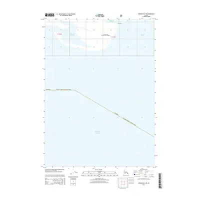
2014 Map of Cordova B-5 SW
USGS Topo · Published 2014About this map
Chugach National Forest encompasses the northern portion of this coastal survey, where the terrestrial landscape meets the expansive Gulf of Alaska. The environment is defined by the shifting coastal dynamics of the Egg Islands and the tidal waters of Egg Island Channel. This specific area within the Alaska Valdez-Cordova Census Area highlights a maritime boundary where land and sea are in constant transition. The map records the geographical positioning of these barrier islands and their surrounding channels as they existed in the early twenty-first century, providing a baseline for understanding the geomorphology of this portion of the Alaskan shoreline.
Find a feature on this map
5 named features on this map. Tap any name to fly to it.
Don’t see what you’re looking for? This feature index may not catch every label — zoom into the map to look around manually.
Map Details
Editions of this 2014 Cordova B-5 SW Map
This is the sole edition of this map. No revisions or reprints were ever made.
Other maps of this area

1948 · Cordova
USGS Topo · 1:250,000

1951 · Cordova
USGS Topo · 1:250,000

1951 · Cordova B-5
USGS Topo · 1:63,360

1951 · Cordova B-6
USGS Topo · 1:63,360

1953 · Cordova B-5
USGS Topo · 1:63,360

1953 · Cordova B-6
USGS Topo · 1:63,360

1959 · Cordova
USGS Topo · 1:250,000
2000 · Cordova B-5
USGS Topo · 1:63,360
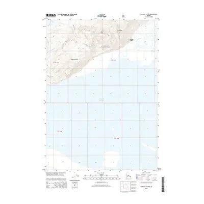
2014 · Cordova B-5 NW
USGS Topo · 1:25,000
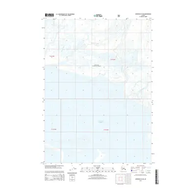
2014 · Cordova B-5 NE
USGS Topo · 1:25,000