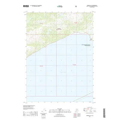
2018 Map of Cordova B-7 SE
USGS Topo · Published 2018About this map
Hook Point stands as a prominent coastal landmark where the forested shoreline meets the Gulf of Alaska. This portion of the Prince William Sound region is defined by its massive protected areas, including the Chugach National Forest which covers the northern upland terrain and the Alaska Maritime National Wildlife Refuge extending across the coastal waters. The landscape is marked by steep elevation changes and small drainage systems like Nuchek Cr and Snake Cr, which flow south from the high ridges toward the sea. The 2018 survey illustrates a purely natural environment, showing no developed roads or settlements, highlighting the wilderness character of this remote coastal Alaskan stretch.
Find a feature on this map
10 named features on this map. Tap any name to fly to it.
Don’t see what you’re looking for? This feature index may not catch every label — zoom into the map to look around manually.
Map Details
Editions of this 2018 Cordova B-7 SE Map
This is the sole edition of this map. No revisions or reprints were ever made.
Other maps of this area

1948 · Cordova
USGS Topo · 1:250,000

1950 · Cordova B-7
USGS Topo · 1:63,360

1951 · Cordova
USGS Topo · 1:250,000

1951 · Cordova B-6
USGS Topo · 1:63,360

1953 · Cordova B-7
USGS Topo · 1:63,360

1953 · Cordova B-6
USGS Topo · 1:63,360

1959 · Cordova
USGS Topo · 1:250,000
1997 · Cordova B-7
USGS Topo · 1:63,360
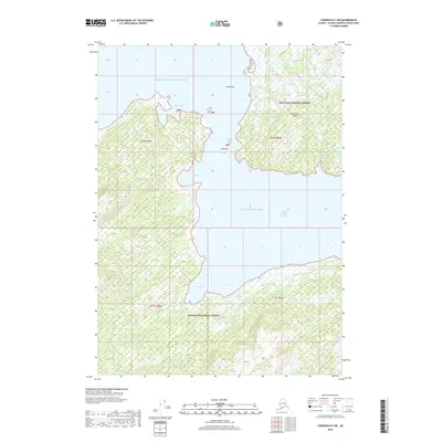
2018 · Cordova B-7 NE
USGS Topo · 1:25,000
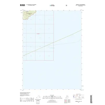
2018 · Cordova A-7 NW
USGS Topo · 1:25,000