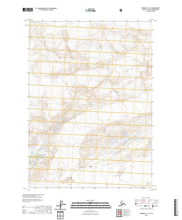
2024 Map of Cordova C-1 SE
USGS Topo · Published 2024About this map
Miles Glacier and the Martin River Glacier dominate this remote glacial landscape within the Chugach National Forest. The map documents a rugged interior region defined by massive ice fields and high-elevation terrain, where these two enormous glaciers shape the hydrology and physical geography. The drainage patterns and topographic contours shown here reflect the massive movement of ice across the landscape, providing a technical record of the glacial extent and the natural boundaries of the national forest in the early twenty-first century. This survey is primarily a study of wilderness and ice, lacking any human settlements or transport infrastructure, highlighting the preservation of this coastal mountain range in its natural state.
Find a feature on this map
11 named features on this map. Tap any name to fly to it.
Don’t see what you’re looking for? This feature index may not catch every label — zoom into the map to look around manually.
Map Details
Editions of this 2024 Cordova C-1 SE Map
This is the sole edition of this map. No revisions or reprints were ever made.
Other maps of this area

1948 · Cordova
USGS Topo · 1:250,000

1950 · Bering Glacier
USGS Topo · 1:250,000

1951 · Bering Glacier
USGS Topo · 1:250,000

1951 · Cordova
USGS Topo · 1:250,000

1951 · Cordova B-1
USGS Topo · 1:63,360

1953 · Cordova B-1
USGS Topo · 1:63,360

1959 · Cordova C-1
USGS Topo · 1:63,360

1959 · Bering Glacier
USGS Topo · 1:250,000

1959 · Cordova
USGS Topo · 1:250,000
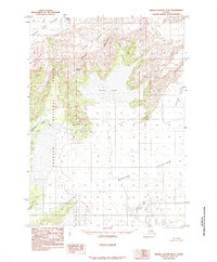
1985 · Bering Glacier B-8
USGS Topo · 1:63,360