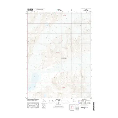
2014 Map of Cordova C-4 SE
USGS Topo · Published 2014About this map
Chugach National Forest encompasses the entirety of this Alaskan landscape, where the physical geography is defined by significant ice and water movement. Glacial activity is central to the area's character, with Scott Glacier entering from the north and the extensive Sherman Glacier appearing in the eastern and southeastern sections. These massive ice fields feed a network of drainages, most notably the braided Sheridan River in the southwest and Salmon Cr in the south. The map reflects a region of raw geological transition where the land is constantly shaped by the proximity of the glaciers to the Pacific coastline, providing a clear view of the hydrological patterns within the t14s r1e, t15s r1e, and t16s r1e townships.
Find a feature on this map
8 named features on this map. Tap any name to fly to it.
Don’t see what you’re looking for? This feature index may not catch every label — zoom into the map to look around manually.
Map Details
Editions of this 2014 Cordova C-4 SE Map
This is the sole edition of this map. No revisions or reprints were ever made.
Other maps of this area

1948 · Cordova
USGS Topo · 1:250,000

1950 · Cordova C-4
USGS Topo · 1:63,360

1951 · Cordova
USGS Topo · 1:250,000

1951 · Cordova B-4
USGS Topo · 1:63,360

1951 · Cordova C-3
USGS Topo · 1:63,360

1952 · Cordova B-3
USGS Topo · 1:63,360

1953 · Cordova C-3
USGS Topo · 1:63,360

1953 · Cordova C-4
USGS Topo · 1:63,360

1953 · Cordova B-3
USGS Topo · 1:63,360

1959 · Cordova
USGS Topo · 1:250,000