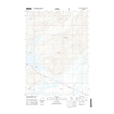
2014 Map of Cordova C-5 SE
USGS Topo · Published 2014About this map
Eyak Lake and the surrounding wilderness of the Chugach National Forest dominate this coastal landscape east of Cordova. The map details a complex network of glacial meltwater and coastal drainage systems, where the Eyak River meets a web of sloughs including Lydic Slough and Currin Slough. This region serves as a vital corridor between the mountains and the Gulf of Alaska, anchored by the Copper River Highway which provides the primary terrestrial access through the delta terrain.
Find a feature on this map
28 named features on this map. Tap any name to fly to it.
Don’t see what you’re looking for? This feature index may not catch every label — zoom into the map to look around manually.
Map Details
Editions of this 2014 Cordova C-5 SE Map
This is the sole edition of this map. No revisions or reprints were ever made.
Other maps of this area

1948 · Cordova
USGS Topo · 1:250,000

1950 · Cordova C-4
USGS Topo · 1:63,360

1951 · Cordova
USGS Topo · 1:250,000

1951 · Cordova B-4
USGS Topo · 1:63,360

1951 · Cordova C-5
USGS Topo · 1:63,360

1951 · Cordova B-5
USGS Topo · 1:63,360

1953 · Cordova B-5
USGS Topo · 1:63,360

1953 · Cordova C-4
USGS Topo · 1:63,360

1953 · Cordova C-5
USGS Topo · 1:63,360

1959 · Cordova
USGS Topo · 1:250,000