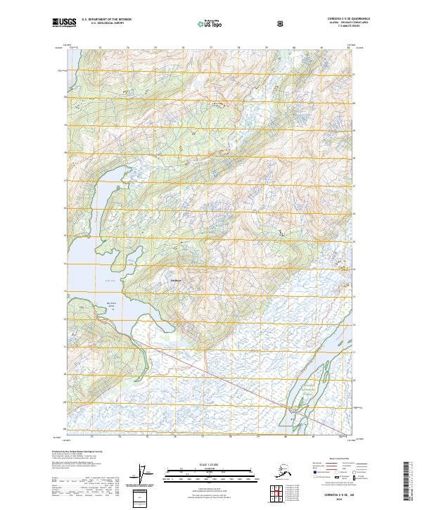
2024 Map of Cordova C-5 SE
USGS Topo · Published 2024About this map
Cordova sits at the edge of a complex network of waterways where the coastal mountains meet the delta. This modern survey illustrates the proximity of the town to Eyak Lake and the Middle Arm, showing how local infrastructure like Eyak Drive and Power Creek Rd follows the contours of the shoreline. The landscape is dominated by the Chugach National Forest, with significant topographical features including Boy Scout Island and the cascading Ohman Falls near the northern reaches of Power Creek.
Find a feature on this map
33 named features on this map. Tap any name to fly to it.
Don’t see what you’re looking for? This feature index may not catch every label — zoom into the map to look around manually.
Map Details
Editions of this 2024 Cordova C-5 SE Map
This is the sole edition of this map. No revisions or reprints were ever made.
Other maps of this area

1948 · Cordova
USGS Topo · 1:250,000

1950 · Cordova C-4
USGS Topo · 1:63,360

1951 · Cordova
USGS Topo · 1:250,000

1951 · Cordova B-4
USGS Topo · 1:63,360

1951 · Cordova C-5
USGS Topo · 1:63,360

1951 · Cordova B-5
USGS Topo · 1:63,360

1953 · Cordova B-5
USGS Topo · 1:63,360

1953 · Cordova C-4
USGS Topo · 1:63,360

1953 · Cordova C-5
USGS Topo · 1:63,360

1959 · Cordova
USGS Topo · 1:250,000