2018 Map of Cordova C-8 NW
USGS Topo · Published 2018About this map
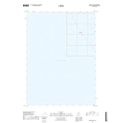
Prince William Sound dominates this coastal maritime survey, providing a focused view of the Alaskan waterscape within the Valdez-Cordova Census Area. The map highlights the vast marine environment where the sound meets the rugged coast of the Unorganized Borough. Land governance is indicated by the township and range designations, specifically T13s R9w, which demarcate the northeastern portion of the sheet. This 2018 edition provides a precise baseline of the shoreline and maritime boundaries during the early 21st century, serving as a primary reference for the intricate geography of the sound and its administrative divisions.
Find a feature on this map
2 named features on this map. Tap any name to fly to it.
Don’t see what you’re looking for? This feature index may not catch every label — zoom into the map to look around manually.
Map Details
Editions of this 2018 Cordova C-8 NW Map
This is the sole edition of this map. No revisions or reprints were ever made.
Other maps of this area

1948 · Cordova
USGS Topo · 1:250,000

1950 · Cordova C-8
USGS Topo · 1:63,360

1951 · Seward
USGS Topo · 1:250,000

1951 · Cordova
USGS Topo · 1:250,000

1951 · Seward D-1
USGS Topo · 1:63,360

1951 · Cordova D-8
USGS Topo · 1:63,360

1951 · Seward C-1
USGS Topo · 1:63,360

1952 · Seward C-1
USGS Topo · 1:63,360

1952 · Seward D-1
USGS Topo · 1:63,360

1952 · Cordova D-8
USGS Topo · 1:63,360