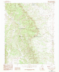
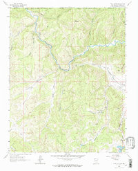
1983 Map of Cordova Canyon
USGS Topo · Published 1983About this map
The Jicarilla Apache Indian Reservation encompasses this high-altitude landscape in Rio Arriba County, defined by the winding path of the Continental Divide. This 1983 edition captures a remote territory where complex drainage patterns are marked by numerous canyons and seasonal water sources. Hydrology is central to the area's geography, with named features such as Mundo Lake, Luna Lake, and Enbom Lake situated among the ridgelines. The western edge of the map is defined by the New Mexico Principal Meridian, a critical surveying baseline for the American West. Erosion has carved deep channels through the terrain, most notably at Cordova Canyon, Soldier Canyon, and La Jara Canyon, reflecting the natural processes that have shaped the Jicarilla Apache lands over millennia. Small ponds like Muniz Pond provide glimpses into the water management required in this arid, high-elevation environment.
Find a feature on this map
13 named features on this map. Tap any name to fly to it.
Don’t see what you’re looking for? This feature index may not catch every label — zoom into the map to look around manually.
Map Details
Editions of this 1983 Cordova Canyon Map
2 editions found
Other maps of this area

1889 · Largo
USGS Topo · 1:250,000

1895 · Largo
USGS Topo · 1:250,000

1954 · Aztec
USGS Topo · 1:250,000

1955 · Lumberton
USGS Topo · 1:62,500

1955 · Boulder Lake
USGS Topo · 1:62,500

1958 · Aztec
USGS Topo · 1:250,000

1962 · Aztec
USGS Topo · 1:250,000
1963 · Cement Lake
USGS Topo · 1:24,000
1963 · John Mills Lake
USGS Topo · 1:24,000
1963 · Wirt Canyon
USGS Topo · 1:24,000