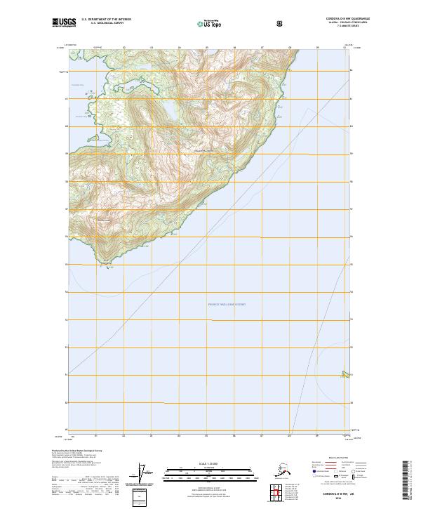
2024 Map of Cordova D-8 NW
USGS Topo · Published 2024About this map
The coastal elevations of the Chugach Mountains dominate this portion of the Chugach National Forest, where the Alaskan wilderness meets the northern reaches of Prince William Sound. The geography is defined by the immediate transition from seawater to steep peaks, including the prominent Mt Freemantle, which overlooks the surrounding inlets. This coastal margin features several distinct maritime indentations, most notably the deep waters of Columbia Bay and the smaller, protected Heather Bay.
Find a feature on this map
13 named features on this map. Tap any name to fly to it.
Don’t see what you’re looking for? This feature index may not catch every label — zoom into the map to look around manually.
Map Details
Editions of this 2024 Cordova D-8 NW Map
This is the sole edition of this map. No revisions or reprints were ever made.
Other maps of this area

1948 · Cordova
USGS Topo · 1:250,000

1951 · Seward
USGS Topo · 1:250,000

1951 · Anchorage
USGS Topo · 1:250,000

1951 · Cordova
USGS Topo · 1:250,000

1951 · Seward D-1
USGS Topo · 1:63,360

1951 · Cordova D-8
USGS Topo · 1:63,360

1952 · Valdez
USGS Topo · 1:250,000

1952 · Seward D-1
USGS Topo · 1:63,360

1952 · Cordova D-8
USGS Topo · 1:63,360

1953 · Seward
USGS Topo · 1:250,000